Book Tickets Online
About
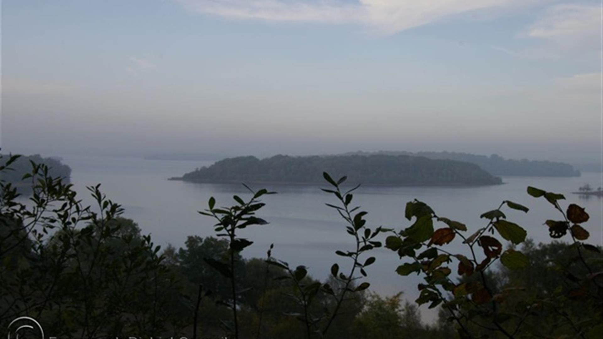
Carrickreagh Viewpoint Walk is part of the Marble Arch Caves Global Geopark. Ely Lodge Forest can be accessed by both water and land as the forest is located on the southern fringes of Lower Lough Erne. Access is possible by boat at Carrickreagh Jetty. The lough draws coarse anglers all year round, and several walks pass through these leafy forest tracks. The forest contains a fine mixture of broadleaved and coniferous trees but of particular note are the mature European larches that thrive here. Heading towards Carrickreagh Viewpoint, keep an eye out for red squirrels that are active in the forest. The red squirrel’s diet consists of a variety of small seeds and nuts, shoots of young plants and spring blossoms and their dreys (nests) can be seen high in the trees.Start Point:
H180513
Finish Point:
H180513
Route:
From the car park, follow the black route, as indicated by the way marked posts. The walk is along forest tracks and takes you on a steep climb up through a hillside forest. Continue until you join a gravel path which leads to Carrickreagh Viewpoint where a wooden hut provides shelter for a well earned rest and a great opportunity to take in the views. Stretching out below you is Lower Lough Erne, one of the largest freshwater lakes in Britain or Ireland. Heading downhill, weave your way back through the forest before returning to your starting point. Please note: This Forest is managed sustainably by NI Forest Service. This walk is situated in a working forest environment and may be subject to diversions and closure from time to time.
Distance:
1.5 miles
Terrain:
All types of terrain
Point of interest:
One of the finest features of this walk is the outlook from Carrickreagh Viewpoint. On a fine day you can see as far as the Bluestack Mountains in Co. Donegal to the north and out to Sligo Bay and the Atlantic Ocean in the west
Facilities:
Information panel, Fully accessible car parking and picnic area available in Ely Lodge Forest car park, nearest amenities Enniskillen.
Publication:
Marble Arch Caves Global Geopark: Forest Walks Booklet.
Publication availability:
www.marblearchcavesgeopark.com
Nearest town:
Enniskillen
OS map:
Sheet 17
Accessible terrain:
Conditions likely to be encountered: Steps, gullies, fences, streams, boulders, severe gradients, undefined edges, overhanging branches, some rest areas, way-finding markers at trail junctions. Wheelchair access is not possible due to path gradients.
Accessible signage:
Walk information panel, route way marked.
Book Tickets
Facilities
Provider Preferences
- Free (parking charges may apply)


