Book Tickets Online
About
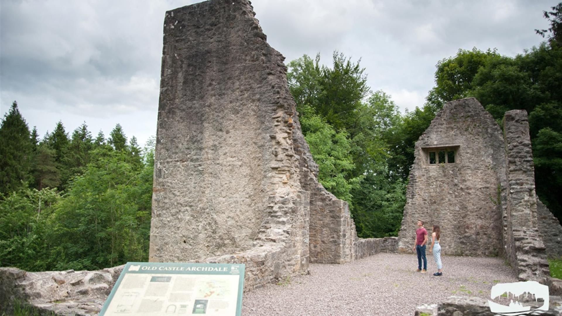
Castle Archdale Forest is part of the Marble Arch Caves Global Geopark. Castle Archdale Forest is a 520 hectare mixed broadleaved and coniferous lowland forest located on the eastern shores of Lower Lough Erne. The forest is a richly varied one in terms of views and features and includes ruined Castles, WWII docks & buildings, ancient woodland and views over Lower Lough Erne to White Island, Davy`s Island and further a field.Start Point:
H186 599
Finish Point:
H186 599
Route:
The Woodland Riverside Walk is a red waymarked circular route through thickets of woodland and commercial forest. The walk meanders along the course of a woodland river, the river gurgles and splashes on its journey to Lough Erne, bringing life to the forest. If you are lucky you may spot a kingfisher skimming over the waters in its search for food. Leaving the river, the path takes you up through the forest driveway winding its way back to the car park. The roadside verges and welcoming flowers attract butterflies such as red admiral, speckled wood and peacock.
Distance:
0.5 miles
Terrain:
Gravel path and country road
Point of interest:
The forest is a richly varied one in terms of views and features and includes ruined Castles and ancient woodland
Facilities:
Free Admission, Open access to pedestrians 24 hours a day, 365 days a week Car Parks are open at all times. Cafe: Open daily 10:00 - 17:00 throughout July and August. Large groups can be catered for outside of these times. Please contact the tea rooms directly for details. Service Station located on main road, heading towards Lisnarick (turn left when leaving Castle Archdale) Toilets are available in the courtyard daily between 09:00 to 17:00 (except for Christmas Day). Visitor Centre exhibition: Open 12:00 - 16:00 on Sundays. *Closed Christmas Day*
Nearest town:
Kesh/Irvinestown
OS map:
Sheet 18


