Official tourism website for Northern Ireland
En

Granite Trail (Donard Loop & Bogie Line)

Co Down
Granite Trail (Donard Loop & Bogie Line)

Book Tickets Online

About

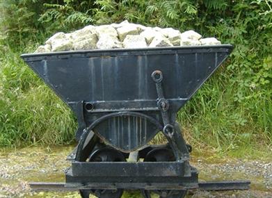
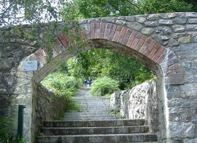
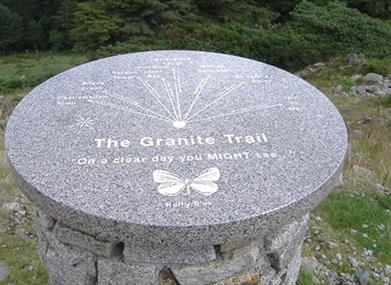
Covering a relatively short distance from coast to open moorland, the Granite Trail offers the opportunity to see artifacts from the once thriving granite industry of Mourne. Differing natural habitats can be enjoyed as you walk through coniferous forest and mature woodland beside mountain streams and rivers.

Start Point:
J381296

Finish Point:
J381296

Route:
There are 3 component parts to this trail, providing the walker with a range of possible options or combinations.  • Bogie Line • Drinneevar Loop • Donard Loop Starting from DONARD PARK (Donard Loop & Bogie Line) Follow the DONARD LOOP on the map through Donard Wood to the rear of the YMCA and through some sharp zig zag turns until you come to the 3rd bridge.  Cross the bridge and continue along the forest road which leads to Thomas’s Mountain Quarry. There is a granite viewpoint just beyond the quarry.  The trail then leads you in the direction of the BOGIE LINE. Millstone Quarry can be accessed via a path to your right hand side which exits at the other side of the quarry (take care if walking over loose spoil !).  Continue along the trail until you come to the stile beside the edge of Donard Wood.  To access the BOGIE LINE, cross the stile beside the Shoddy Hut and continue downhill towards King Street and Bogie Hill.  Take care when crossing the road ! Continue walking along the footpath in the direction of Newcastle town centre - Information on the SS Great Britain is available just before the PSNI station. Continue in the direction of the town centre until you come to the beginning of the Promenade (across from River House). Take Care when crossing the road – this takes you back to your starting point in Donard Park.  WARNING - The trail includes quarries with loose spoil, old workings and unprotected drops.  It is recommended that visitors keep to the trail.

Distance:
3 miles

Terrain:
Steep inclines, forest tracks

Point of interest:
Harbour and Town, Natural Habitat

Facilities:
Wide range of eateries to suit all tastes in Newcastle.

Publication:
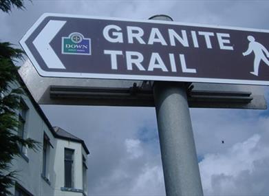
The Granite Trail, Newcastle, Co. Down

Publication availability:
You can pick up a copy of this at Newcastle Tourist Information Centre. Tel: 028 4372 2222. Alternatively, it is available to download on this page.

Nearest town:
Newcastle

OS map:
Sheet 29

Book Tickets

Map & Directions

What's Nearby

  1. Sand & pebble beach located on the south down coast.

    1.14 miles away
  2. This 5 mile stretch of golden sands is still the essence of the resort and is hugely…

    2.54 miles away
  3. Maghera Church and Round Tower is of major historical importance and is among many…

    2.87 miles away
  4. Covering an area of almost 630 hectares at the foot of the Mourne mountains, Tollymore…

    3 miles away
  5. Murlough National Nature Reserve is a fragile 6000 year old sand dune system owned by the…

    3.15 miles away
  6. Set in spectacular surroundings overlooking Dundrum inner Bay these fine Georgian…

    4.27 miles away
  7. Believed to have been built in or around 1177, Dundrum Castle was built by John De Courcy…

    4.77 miles away
  8. Castlewellan Peace Maze, is one of the world's largest permanent hedge mazes representing…

    5.11 miles away
  9. Castlewellan Forest Park boasts a stunning Victorian Castle, incredible panoramic views,…

    5.64 miles away
  10. We are a family run farm park based just outside Newcastle, County Down. Established in…

    5.78 miles away
  11. Annalong Cornmill has been beatifully restored and is situated by the pretty Annalong…

    6.13 miles away
  12. Tyrella beach and conservation area is a small, enclosed dune complex within Dundrum Bay.…

    6.74 miles away
  13. An Anglo-Norman motte-and-bailey earthwork castle dating to the late 12th or early 13th…

    6.83 miles away
  14. The Silent Valley Reservoir was built to gather water from the Mourne Mountains and is…

    7.11 miles away
  15. Goward Dolmen is situated approx 0.4km south of the B8 Castlewellan/Hilltown road on the…

    8.61 miles away
  16. Seaforde Gardens, Maze and Tropical Butterfly House promises a truly plant rich and…

    8.78 miles away

Virtual Tour

Map & Directions

Road Directions

There is a car park available at Newcastle Harbour, South Promenade, Newcastle. This is on the main A2 road from Newcastle to Kilkeel. Regular buses are available to Newcastle from Belfast and Newry. The Granite Trail commences opposite Newcastle Harbour.

Public Transport Directions

Translink - journeyplanner.translink.co.uk

Back to Top

Tourism Northern Ireland

Don't Miss