Book Tickets Online
About
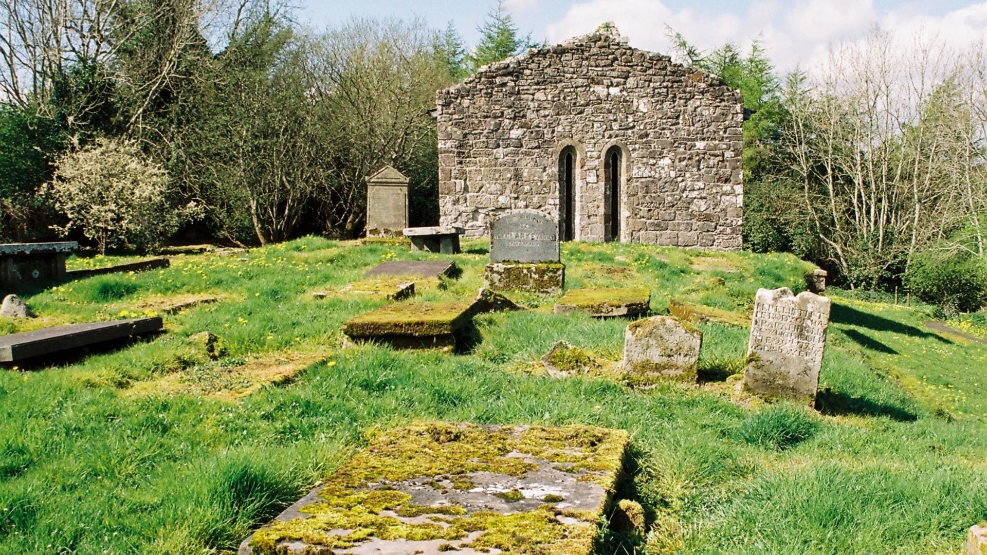
Augustinian priory with a 15th-century tomb of Cooey-na-Gall, an O'Cahan chief, who died in 1385.Book Tickets
Guide Prices
| Ticket Type | Ticket Tariff |
|---|---|
| Ticket | Free |
Admission free.

| Ticket Type | Ticket Tariff |
|---|---|
| Ticket | Free |
Admission free.
* Currently closed due to work on bypass.
A pretty village nestled between the River Roe and the Bovevagh River.
Bovevagh parish church was established in the late Middle Ages on the site of an early…
This scenic and tranquil park is located on the outskirts of Limavady and offers…
A megalithic tomb, dating to the Neolitic or New Stone Age (2000-4000) is found in…
Travel 3 miles west of Garvagh town and you will begin to enter Gortnamoyagh Forest,…
An Coire Arts Centre provides the perfect setting for the delivery of a wide range of…
Opened in 1842, the Limavady Union Workhouse is reported to be one of the best preserved…
Nestled in a secluded area located 2.5 miles to the North West of Maghera, Tirkane is a…
Nestled on the edge of the Sperrins, the Reserve boasts a rich variety of habitats…
Rough Fort, on the Limavady to Ballykelly road, is a remarkable earthwork construction…
One mile north of Maghera stands a prehistoric tomb at least 4,000 - 6,000 years old.…
A 200-hectare forest containing many species of trees, wildlife – and even a pyramid…
Covering 200 hectares, Garvagh forest is situated on the Western outskirts of Garvagh,…
Great storytelling, beautiful design and 21st century technology, our new visitor…
In the steep, wooded Glen of the Burntollet River, south-east of Derry/Londonderry, lies…
Set in the Burntollet Valley within Ness Country Park, this nature reserve provides the…
Directions from Town:
Located on the east side of Dungiven (A5), reached only by foot, as it's down a lane passing a wart well and rag tree, well signposted.