Official tourism website for Northern Ireland
En

Blackslee Waterfall Walk

Fermanagh Visitor Information Centre, Wellington Road, Enniskillen, County Fermanagh, BT74 7EF
Blackslee Waterfall Walk

Book Tickets Online

About

This walk begins from the Aghameelan Viewpoint with the initial part of the walk taking you along forest tracks, deep into the forest through areas of mature planted conifers on the higher ground to areas populated by willow and aspen on the lower slopes. In areas where the forest is less dense, dappled light filters through giving rise to delicate woodland plants such as wood sorrel, wild garlic, and bluebells.

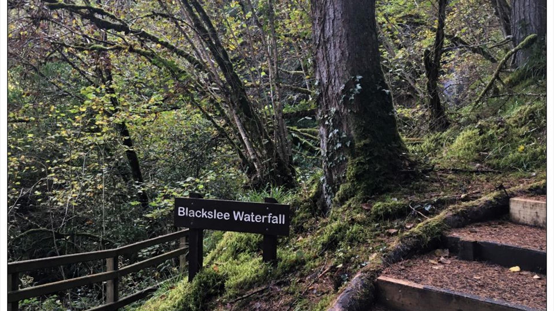
A series of linked forest tracks and paths zigzag through this forested area, however your path finally veers left. Contouring around a river bank the path leads through deep forest passing the ‘boulder field’ an area of huge sandstone boulders left behind as the ice sheets melted at the end of the last Ice Age over 13,000 years ago. Continuing uphill the path approaches Blackslee Waterfall, where water cascades over a 20m cliff before continuing its journey down an undercut rocky gorge. The gorge is carved from sandstones and mudstones, crosscut by a more resistant rock called dolerite, before flowing into Lower Lough Erne. Depending on the water levels at the time, this beautiful natural feature can range from a mere trickle to a raging torrent. The path continues its gradual climb uphill before adjoining the forest track, the final stretch of the path takes in capitulating stretches through corridors of forest which open to provide fine views over the neighbouring countryside.

Distance: 4 miles

Time: 2 hours 30 minutes

Grade: Moderate

Terrain: All types, mostly forest track

Route: Clockwise circular

Wheelchair accessible: No

Map: Discoverer Series OSNI Sheet 17 Lower Lough Erne; Activity Map OSNI Upper and Lower Lough Erne

Dogs: Dogs must be kept under control and waste disposed of

Starting Point: Aghameelan Viewpoint carpark

Book Tickets

Add Blackslee Waterfall Walk to your Itinerary

Close window

Call direct on:

Tel+44 (0) 28 6632 3110

Map & Directions

What's Nearby

  1. Seven-mile drive through the forest to a magnificent panorama over Lough Erne.…

    1.66 miles away
  2. This fortified house and bawn are set on Tully Point and were built for Sir John Hume who…

    4.16 miles away
  3. In Caldragh Cemetery on Boa Island, Lower lough Erne stand two unique stone carvings. The…

    4.79 miles away
  4. Built for Malcolm Hamilton and completed in 1618, it has a Scottish look about it, with…

    7.1 miles away
  5. The country park boasts beautiful woodland and lough shore walks, an insect garden and…

    7.54 miles away
  6. When you step into the world of Belleek Pottery you enter one of Northern Ireland’s…

    8.06 miles away
  7. The Devenish figures are a unique collection of wooden sculptures carved out of Irish…

    10.51 miles away
  8. Famous for its perfect 12th-century round tower and ruined Augustinian abbey, Devenish…

    11.05 miles away
  9. Portora Castle guards a former crossing point where the river joins Lough Erne. Built in…

    11.44 miles away
  10. Situated about 100 metres outside Ederney Village on the Main Road to Omagh, this unusual…

    12.18 miles away
  11. A visit to The Inniskillings Museum at Enniskillen Castle is a journey through more than…

    12.28 miles away
  12. Situated beside the River Erne in County Fermanagh, was built almost 600 years ago by…

    12.3 miles away
  13. A trip to Headhunters Barber Shop & Railway Museum is like taking a remarkable journey…

    12.38 miles away
  14. Visit Frances Morris in her studio/gallery to view the latest exhibition of her Irish…

    12.49 miles away
  15. The Marjorie Leonard Art Gallery is located in the Buttermarket, a beautifully restored…

    12.51 miles away
  16. Forthill Park is a pleasantly wooded town park with walks, shrub gardens and children's…

    12.74 miles away

Virtual Tour

Map & Directions

Back to Top

Tourism Northern Ireland

Don't Miss