
")


Book Tickets Online
About
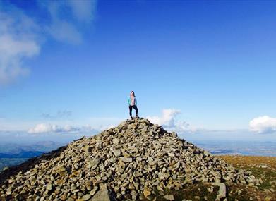
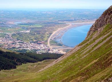
Slieve Donard at 850m (2,789 ft) is the highest of the Mourne Mtns. The views from the summit are extensive and on a clear day the Isle of Man, Wicklow, Donegal, Wales and Scotland may be seen, as well as the long stretch of Newcastle Beach.Start Point:
J375305
Finish Point:
J375305
Route:
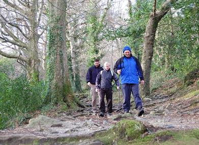
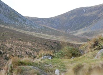
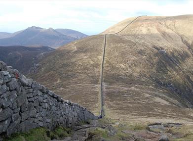
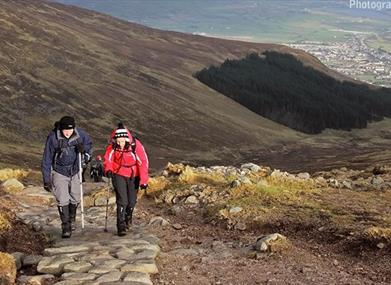
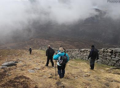
Leave the car park in Donard Park heading towards the mountain and follow the Glen River uphill through old woodland of Scots Pine, Oak and Birch. At the first of 3 bridges, cross to the opposite bank. Continue uphill through the forest, above a deep cut riverbed, for about 400m until another bridge is reached. The riverbank overhangs along this section so extra care is needed. At this point cross back to the left hand side and resume journey uphill through the trees. At the next bridge continue across the forest road and onto the rough track heading up towards the mountains, with thick forest on right (fenced), until a gate and stile is reached. Cross the stile and follow the track above the river for about 2kms, heading towards the saddle between Donard and Commedagh. At this point, the path crosses the river and continues uphill to the 'Saddle' where it meets the Mourne Wall. At the Mourne Wall turn left and follow the wall steeply uphill towards the summit. From the summit return by the same route, staying close to the wall until the Saddle is reached again. The cliffs on the north side of Donard known as Eagle Rocks should be avoided by walkers since the approaches are steep. Return to Donard Park following the line of the Glen River.
Distance:
2.9 (one way) miles
Terrain:
Mainly forest and mountain paths
Point of interest:
Views from summit
Facilities:
Toilets and parking in Donard Park. Refreshments in Newcastle.
Publication:
None
Publication availability:
n/a
Nearest town:
Newcastle
OS map:
Sheet 29
Accessible toilet facilities:
Yes
Accessible terrain:
The terrain is on rough forest and mountain tracks. Steep in places, parts of the steep mountain section have been paved with stone.
Book Tickets
Facilities
Provider Preferences
- Free (parking charges may apply)
Explore More
 Mourne Gullion Strangford Geopark, Northern IrelandMourne Gullion Strangford Geopark is a UNESCO Global Geopark and recognised Area of Outstanding Beauty that seamlessly blends stunning landscapes, rich geological history, and vibrant cultural heritage.


