Book Tickets Online
About
This walk brings you through some of the most beautiful scenery that the Marble Arch Caves Global Geopark has to offer. Follow the geological timeline back through hundreds of millions of years to when the area was under a shallow tropical sea and Ireland lay close to the equator. These walks take you over limestone hills and along river banks into the foothills of Cuilcagh Mountain and one of the wildest places in Northern Ireland. Along the way you can learn about the shared geological history of geoparks from Ireland all the way to Norway and Canada. Keep an eye out for the volcanic Cuilcagh dyke or the disappearing river and if your lucky you might spot some of the feral goats that have roamed these hills for thousands of years.Start Point:
H128340
Finish Point:
H128340
Route:
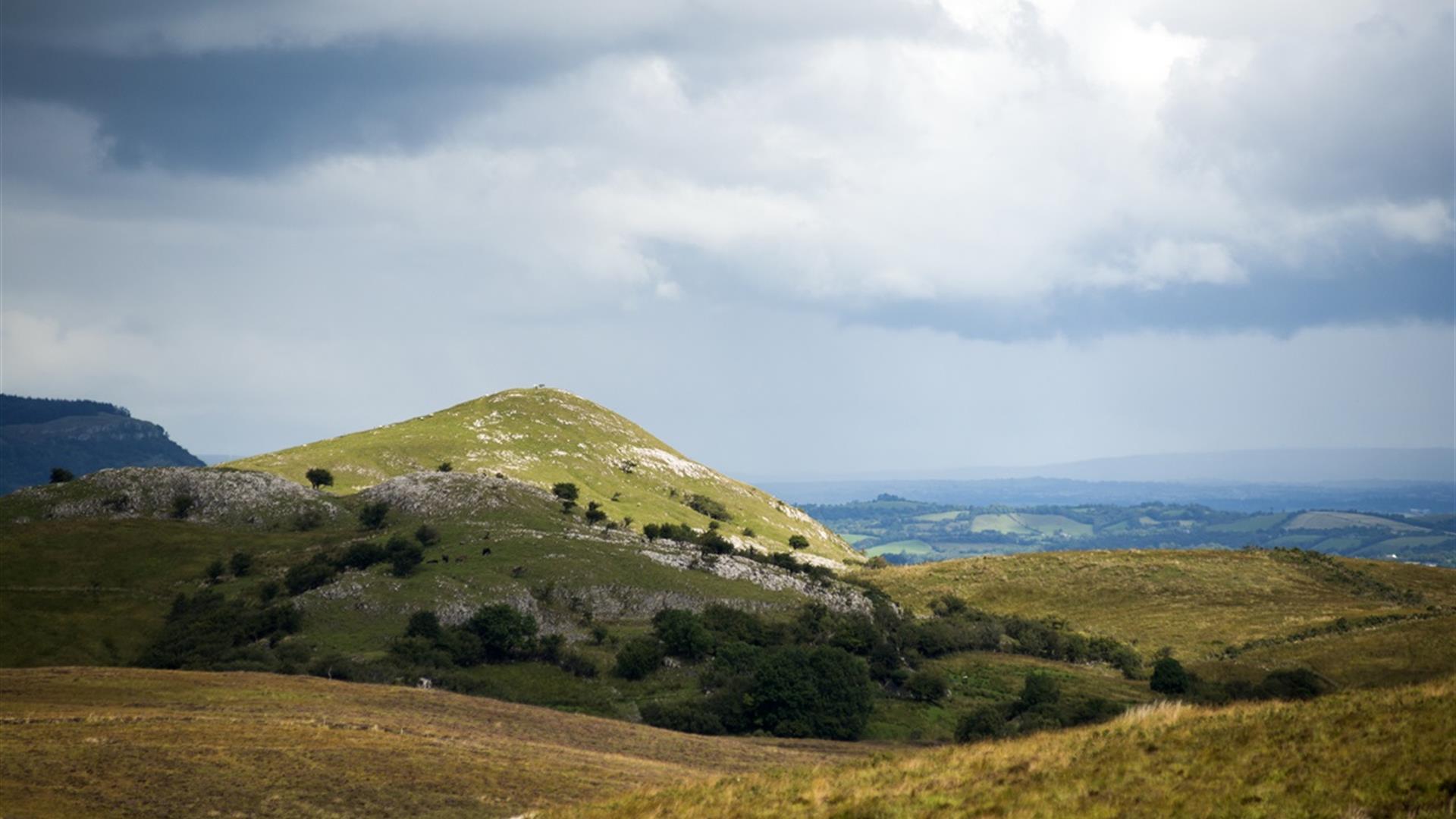
Gortmaconnell Rock Walk (Blue Route) Distance: 1.2miles Time: 40 minutes Terrain: Farm Track and grass path This short linear route brings you to the top of Gortmaconnell Rock. A huge limestone mound that was once part of an ancient coral reef. From here you get panoramic views of Cuilcagh Mt, Belmore Mt, Lough Erne and the Dartry mountains of Sligo and Leitrim Owenbrean Walk (Red Route) Distance: 3.5miles Time: 2 hours Terrain: Farm Track This route follows the Owenbrean river along it’s course where you’ll notice the wide meander caused by the volcanic Cuilcagh Dyke. Look out for Dippers along the river, these black and white diving birds are a common sight. The trail ends with incredible views of the river valley and the blanket bog of Cuilcagh which is designated as a Special Area of Conservation for its internationally important habitats. Farmhouse Walk (Black Route) Distance: 4.2miles Time: 2.5 hours Terrain: Track, grass path and bog This trail follows the same course as the Red Route however on the return journey it veers off along the edge of a limestone outcrop passing the ruins of an old stone dwelling before crossing open grassland and bog in the shadow of Gortmaconnell Rock.
Distance:
4.2 miles
Terrain:
Farm track and open country
Point of interest:
Owenbrean River, Cuilcagh Mountain, Cuilcagh Dyke, Old farm buildings, Limestone geology, blanket bog and limestone grassland
Facilities:
Car Parking, Public Toilets at Marble Arch Caves (open March - October)
Publication:
n/a
Publication availability:
n/a
Nearest town:
Florencecourt
OS map:
OSI Discovery Series Sheet 26
Accessible terrain:
Terrain is mostly rough farm track with some sections across open ground. There are numerous styles and gates.
Accessible signage:
Trail is well sign posted with waymarkers denoting each individual route.


