Official tourism website for Northern Ireland
En

Famine Wall Walk - Mountain Ways Ireland

Slieve Gullion Forest Park, 89 Drumintee Road, Meigh, County Armagh, BT35 8SW
Famine Wall Walk

Book Tickets Online

About

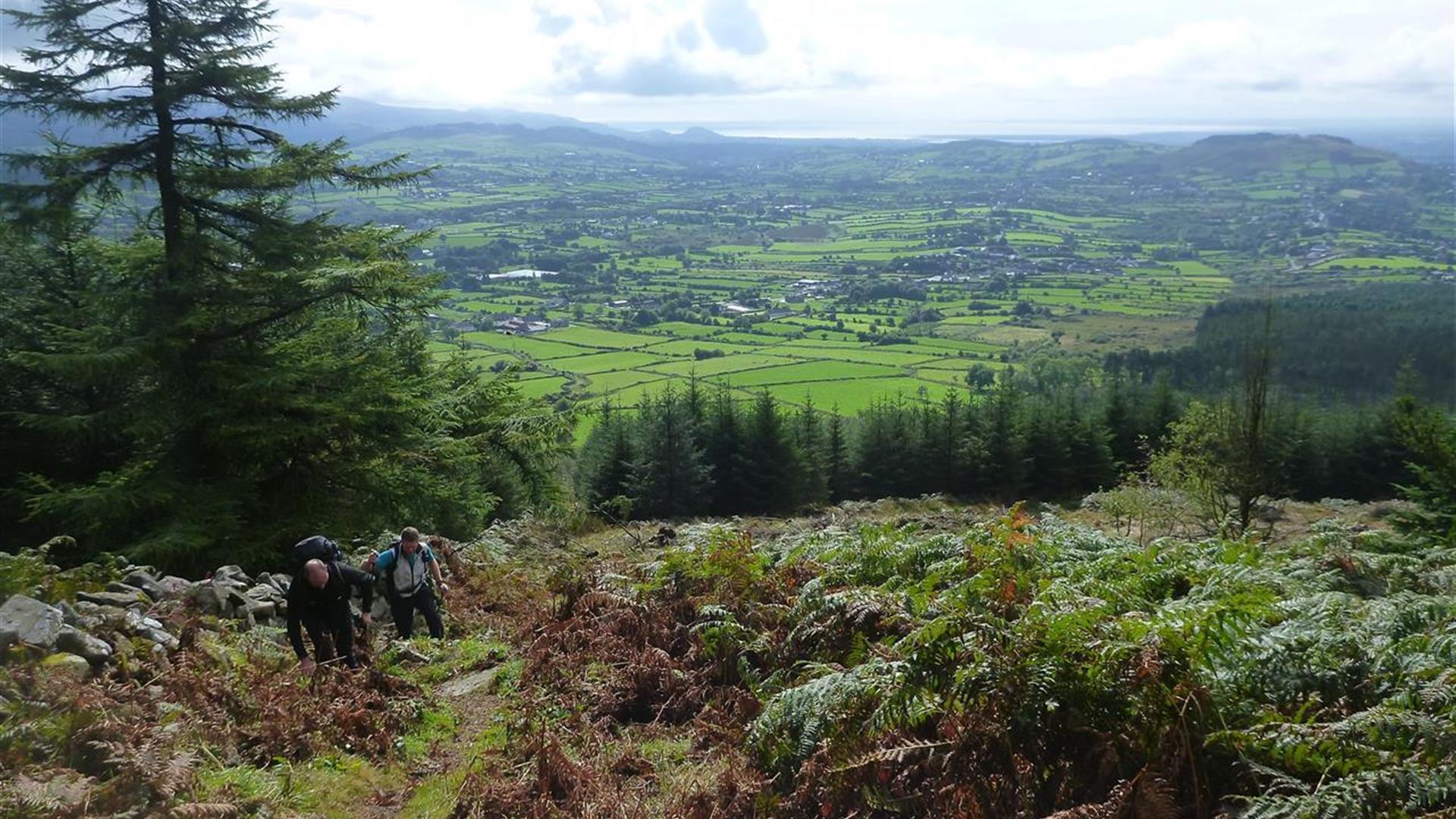
Embark on an unforgettable adventure with our expert guides as we explore the Famine Walls on Slieve Gullion, the highest mountain in Armagh!

Step back in time to the Great Famine of 1845, a pivotal chapter in Irish history. After three years of devastating crop failures, famine-stricken people were left to suffer by the roadside.

In a bid to offer some relief, the government controversially introduced a public works program, where the desperate could earn a meager wage to buy meal by laboring on projects like building walls and roads.

Slieve Gullion’s famine wall was part of this effort. Join Mountain Ways Ireland as we journey along these historic walls, which once marked townland boundaries. Our trek also takes you to the highest surviving Neolithic passage tomb in Ireland. Discover the mystical mountaintop lake and hear the captivating legends of Caillaigh Beara, the ancient witch who once roamed the mountain in Ireland's distant past. Don’t miss this chance to immerse yourself in history, mystery, and natural beauty!


Book Tickets

Facilities

Establishment Features

  • Groups catered for
  • Online Booking
  • Prior Booking Required

Payment Methods

  • All major credit/debit cards accepted
  • Euros accepted

Guide Prices

Prices on request

Add Famine Wall Walk - Mountain Ways Ireland to your Itinerary

Check availability for Famine Wall Walk - Mountain Ways Ireland (opens in a new window)

Close window

Call direct on:

Tel+44 (0) 28 3057 0220

Map & Directions

Opening Times

* All year round

What's Nearby

  1. Slieve Gullion is Ireland's Mountain of Mystery. The Forest Park offers walking trails,…

    0.38 miles away
  2. Slieve Gullion Forest Park is in the heart of the Ring of Gullion. The Ring of Gullion is…

    0.38 miles away
  3. This unusual megalithic monument is set on the eastern edge of a low ridge, overlooked by…

    0.67 miles away
  4. The site contains two early churches situated back to back. Even earlier, it was the…

    1.51 miles away
  5. This Neolithic burial site, dated between 4000 and 2500 BC, has a huge capstone,…

    3.04 miles away
  6. This monument is an extremely well preserved Neolithic burial site with three chambers. …

    3.11 miles away
  7. Kilnassagart Inscribed Stone, in the south of County Armagh, is regarded as being one of…

    3.21 miles away
  8. South of the County Armagh village of Jonesborough lie the ruins of Moyry Castle, built…

    3.26 miles away
  9. Known locally as the ‘King’s Ring’, this court tomb has a prominent position in the…

    3.56 miles away
  10. Bagenal’s Castle located in historic Newry is a 16th century fortified house and…

    4.95 miles away
  11. This is undoubtedly the most commanding building in Newry and is arguably the most…

    4.99 miles away
  12. Excellent example of a tower-house and bawn built about 1568 at a point where the Newry…

    5.22 miles away
  13. A National Trust Property, Derrymore House is an elegant thatched cottage that stands…

    5.23 miles away
  14. This 18 arch viaduct, close to Newry, is a prominent feature of the south Armagh…

    5.69 miles away
  15. Our play farm offers a huge indoor soft play area with four dragon slides and a massive…

    6.98 miles away
  16. The court tomb at Annaghmare is one of the best preserved examples of its type, with many…

    8.51 miles away

Virtual Tour

Map & Directions

Back to Top

Tourism Northern Ireland

Don't Miss