Book Tickets Online
About
The route starts at Florence Court and follows the Cuilcagh Way route via Deer Park, Florence Court Forest Park, Legacurragh, Cuilcagh Mountain summit, Legnabrocky and ending at the Marble Arch Caves.Start Point:
H180 344
Finish Point:
H121 346
Route:
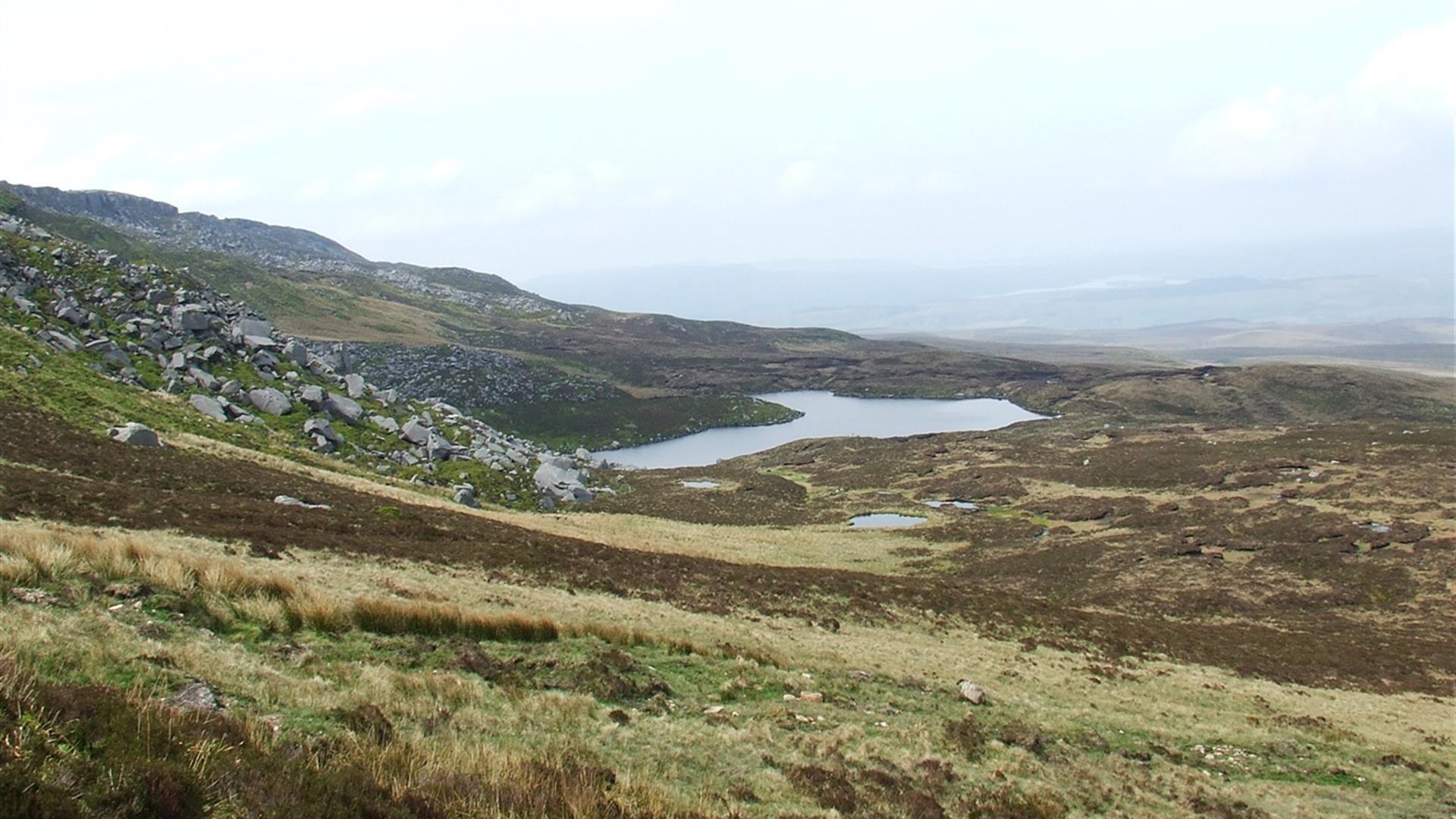
** Please note that the summit of Cuilcagh Mountain is currently closed due to health and safety concerns. A new route that takes in the summit is being designed. The route is closed in an anti-clockwise direction from the parking area for Cuilcagh Mountain Park (H121335), to the junction of the route with the path from Gortalughany Viewpoint (H158309), until further notice ** **Please note that waymarking for this route in Florencecourt Forest, is not in place at present, but will be installed in the near future.** From the start at the Forest Service car park follow a path out onto the main tarred avenue leading to Florence Court House. Cross the avenue and follow waymarkers along a path. Go through several junctions and then continue alongside and occasionally over a number of small streams through Cottage Wood and Florence Court Forest. Turn right onto a road and pass Glen Wood Forest Nature Reserve before reaching a junction. Turn left and walk uphill around a number of sweeping bends. Follow a waymark off the road to the left and onto a hard-surfaced lane, which leads through Cove Forest. A short, uneven section heralds the end of the forest and open ground, just over an hour from the start. Climb up through thick heather past a cairn and ancient burial site at Myalla, known locally as the Giant’s Grave. The relatively dry land soon becomes wetter as you progress further up the slopes of Cuilcagh. Waymarkers continue to lead south west across blanket bog towards the summit pyramid of Cuilcagh. From the base of this pyramid a steep zigzagging ascent up a very steep slope leads to the triangulation pillar on the summit of Cuilcagh, two hours from the edge of Florence Court Forest. Once on top you will discover magnificent, 360° views that, on clear days, can encompass counties Tyrone, Donegal, Cavan, Leitrim, Sligo and Roscommon. From the trig point walk northwest across the summit plateau for fifteen or twenty minutes and then carefully follow yellow-topped marker posts down past Lough Atona to the Legnabrocky Track. The ground on this descent can be very wet and in parts, quite steep. Follow the track north for an hour, gradually losing height as you do so. The long, stony track ends at a parking area for Cuilcagh Mountain Park. To the left is Monastir Sink, a rocky depression where the roof of an underground river has collapsed. This particular sinkhole is part of the same cave system that includes Marble Arch to the north. Turn right onto the Marlbank Loop Road for a few minutes and then turn left onto the tarred avenue leading to the Marble Arch Caves Visitor Centre.
Distance:
12.1 miles
Terrain:
Rough mountain terrain
Point of interest:
Florence Court, Cuilcagh Mountain, Marble Arch Caves
Facilities:
Car park available at Florence Court and Marble Arch Caves
Nearest town:
Belcoo
OS map:
26
Book Tickets
Facilities
Provider Preferences
- Free (parking charges may apply)


