Book Tickets Online
About
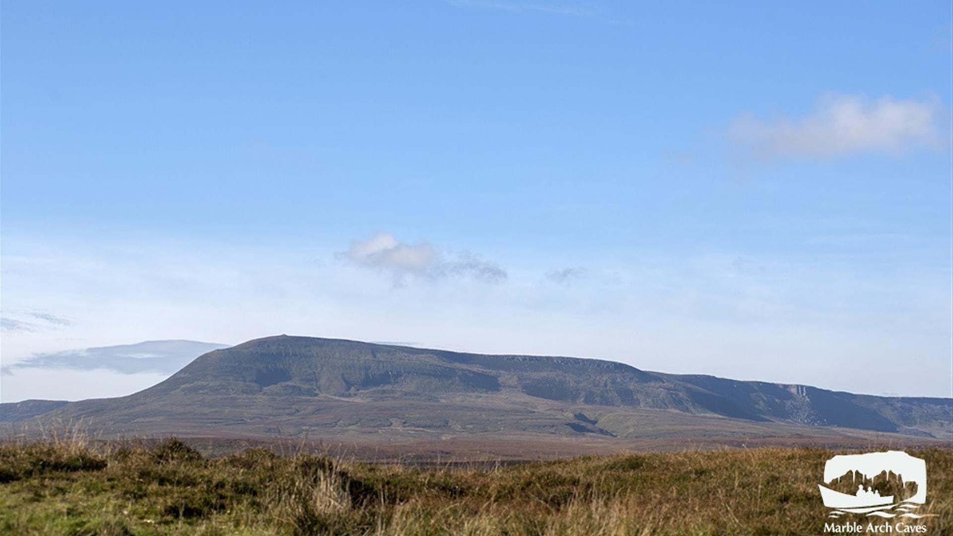
Section 3 of the Cuilcagh WayA vigorous and exposed route through expansive blanket bog, involving a steep climb to reach the summit cairn of Cuilcagh Mountain, offering breathtaking views over the surrounding landscape. This route is mostly on blanket bog, crossing wet, uneven ground. Full mountain precautions and experience required. Marked pink on the attached map. The Cuilcagh Way is part of the Marble Arch Caves Global Geopark.
Start Point:
H177314
Finish Point:
H123280
Route:
The Cuilcagh Way is a waymarked route that stretches for 33km through a breath taking patchwork of habitats in southern Fermanagh. The route can be walked in sections and provides stunning views, fascinating geology, mystifying wildlife, captivating archaeology and natural history: enough to whet anyone’s appetite for adventure. The Cuilcagh Hiker’s Trail is a way marked linear route that will appeal to experienced walkers who enjoy spectacular views and are interested in undertaking a vigorous, challenging walk in the wilderness. The terrain consists of a mountain path so some parts of the route can be very wet and boggy, particularly after a rainy period. Due to the often challenging weather conditions on Cuilcagh Mountain, careful planning, constant vigilance and good navigation are required all year round. The trail is a richly varied one in terms of topography and features, and includes walking over a glacial landscape in a mountainous environment passing by dry valleys, limestone pavement, mountain rivers and sandstone outcrops. This area is also managed by the Royal Society for the Protection of Birds so keep alert for signs of the rare Golden Plover nesting in the area. As the route begins on the mountain there is no significant climb until the steep and vigorous 300metre scramble up the mountain face through rocky outcrops. Arriving on the summit you can’t miss the ancient cairn (the remains of a burial mound dating from the Bronze Age 2,500 – 500 BC). The summit provides a great vantage point to view the picturesque lowlands of County Fermanagh and Cavan and on an exceptionally clear day you can see both the Irish Sea and the Atlantic Ocean along with several surrounding counties. Route description written as if you are starting the walk from the Gortalughany Viewpoint car park. Walk Highlight The summit plateau of Cuilcagh Mountain marks the border between County Fermanagh (in Northern Ireland) and County Cavan (in the Republic of Ireland) with a height of 666 metres (2,182 ft) it is the highest point in both counties and the 165th highest mountain on the island of Ireland.
Distance:
5.6 miles
Terrain:
Exposed mountain path
Point of interest:
Summit of Cuilcagh Mountain
Facilities:
Facilities are available at the nearby Marble Arch Caves visitor centre and Florencecourt House.
Publication:
Cuilcagh Way A Walker's Guide
Publication availability:
Available from Marble Arch Caves or Fermanagh Visitor Information Centre
Nearest town:
Swanlinbar
OS map:
Sheet 26 (1:50 000)
Accessible terrain:
Exposed mountain path


