Book Tickets Online
About
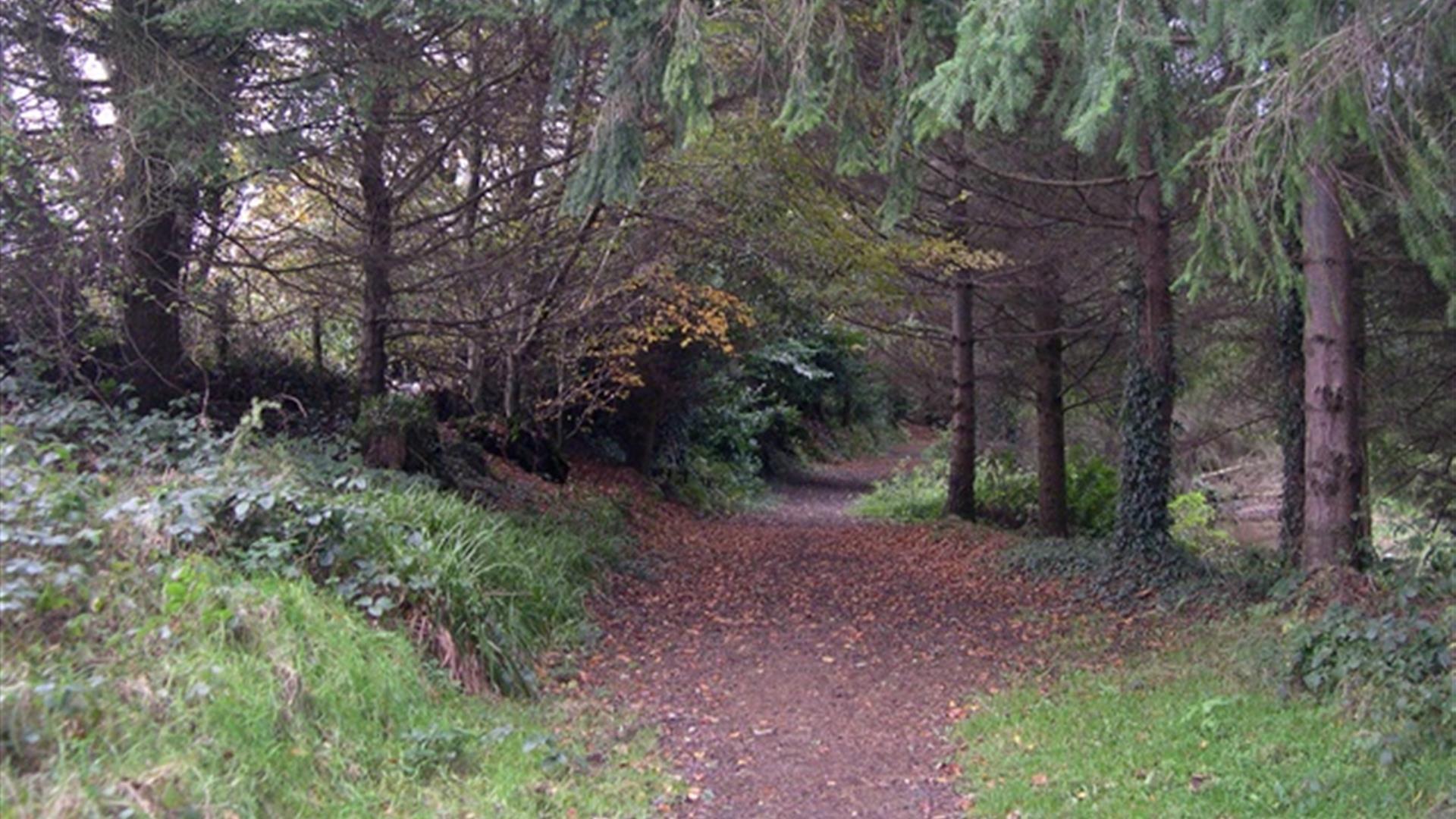
The route leaves from the car park at the Junction of Ballymoyer Road and Drumcrow Road. It initially follows the Creggan River and then winds it way through the mixed woodland of a fairy glen with deep mossy and ferned banks before returning back to the starting pointStart Point:
H978312
Finish Point:
H978312
Route:
Start at the carpark at the junction of Ballymoyer Road and Drumcrow Road. Follow the path through the gate alongside the Creggan River until it joins the Ballymoyer Road. Follow the trail and waymarkers on the opposite side to the viewpoint and through the looped top section that traverses the steep glen. From the viewpoint cross the road again and return via the Creggan River path to the starting point.
Distance:
2 miles
Terrain:
Off road woodland trail
Point of interest:
Diverse woodland and specimen trees
Facilities:
Car parking at the start of the walk. Refreshments, shops and toilets in Whitecross.
Publication:
Ballymoyer - leaflet produced by National Trust
Publication availability:
Contact Newry Tourist Information Centre on 028 3031 3170 or contact the National Trust on 028 9751 0721 or email - info@smtp.ntrust.org.uk
Nearest town:
Whitecross
OS map:
Sheet 28
Accessible terrain:
Parts of the walk are wheelchair users - with low gradients.
Book Tickets
Facilities
Provider Preferences
- Free (parking charges may apply)


