Official tourism website for Northern Ireland
En

Portrush to Bushmills

Portrush Harbour, 63 Kerr Street, Portrush, County Antrim, BT56 8BP
Portrush to Bushmills

Book Tickets Online

About

Please note: Due to filming, public access is not permitted along part of East Strand and Whiterocks beach, and also Whiterocks cliff path, and the coast road between Dunluce Castle and Whiterocks, during the period 11th-15th June 2018 and 18th-19th June 2018. Please follow A2 Dunluce Road from Portrush towards Whiterocks and follow diversion signs.

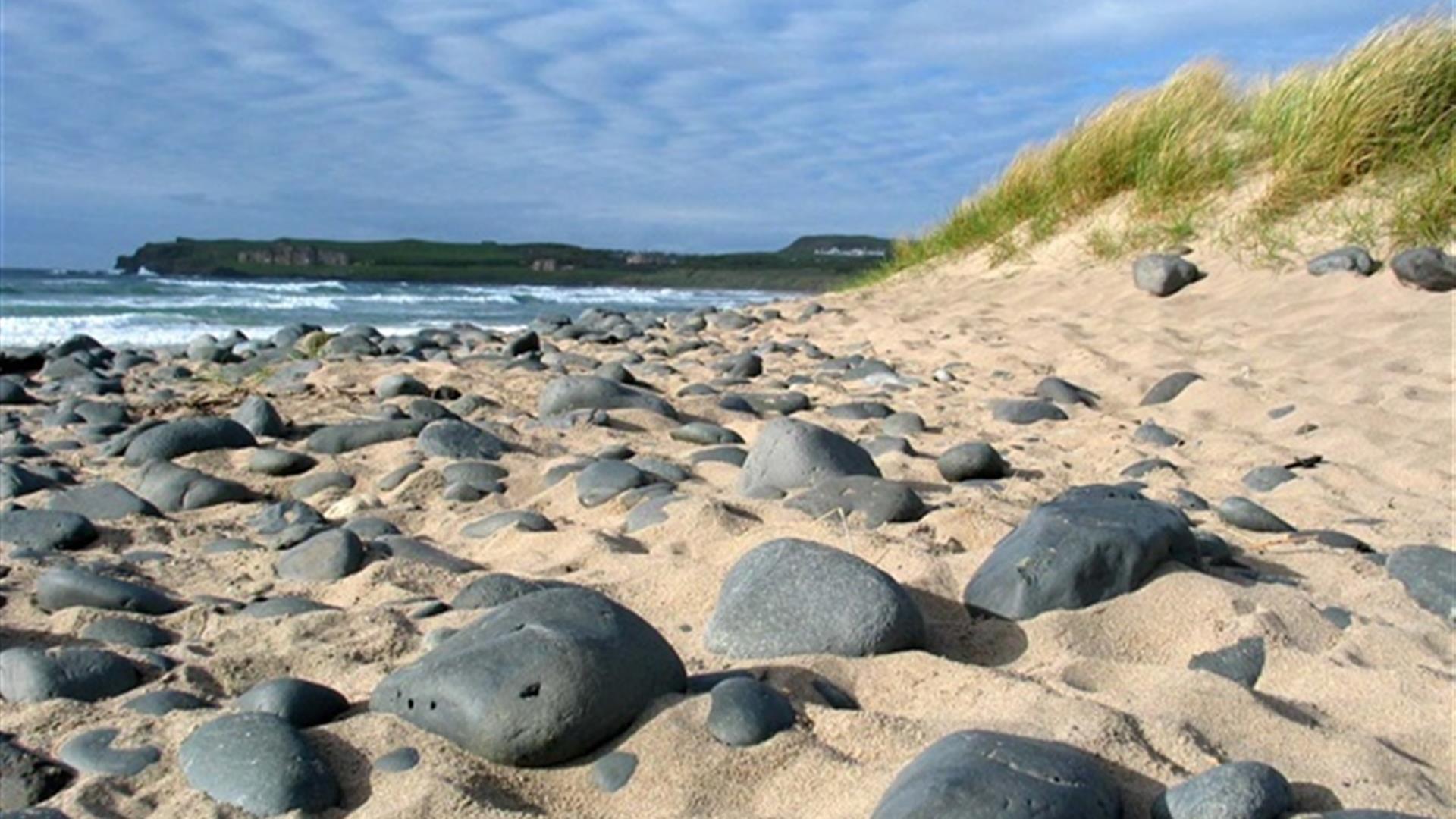
A moderate walk running from Portrush via Portballintrae to Bushmills, taking in beach, cliff and castle.

Start Point:
C936411

Finish Point:
C855409

Route:
From Portrush Harbour, continue up past the Ramore Wine Bar and around Ramore Head. The route continues onto a formal pathway passing Portandubh Harbour and Portrush Countryside Centre and Nature Reserve. Proceed to the Curran Strand passing the former salmon fishery at Porteen. Set out along the beach, following the sand for over 2km to reach the parking area at White Rocks Coastal Park. This area derives its name from the striking limestone cliffs that line the back of the beach. Follow the route markers along the pedestrian path that traces its way up to the A2 road and turn left beside the tarmac, heading towards Dunluce Castle and onto Portballintrae. Continue past the B145 junction for a short distance to where a way marked track known as the ‘Port Hedge’ crosses fields into Portballintrae village. Continue round the bay past the harbour to the car park. Continue following the path along the coast, take the path to the right before reaching the bridge over the River Bushfoot. Continue straight through the car park of Bushfoot Golf Club and follow the path to reach the Giant's Causeway and Bushmills Railway. Turn right and follow the path along the railway line to the Bushmills Station. Turn left onto the Ballaghmore Road and left again onto the Dunluce Road to continue into Bushmills.

Distance:
6.6 (one way) miles

Terrain:
Beach, formal paths, minor road

Point of interest:
Portrush Harbour, Whiterocks Beach, Dunluce Castle, Portballintrae Bay and Harbour.

Facilities:
Car park available at Ramore Head, Portballintrae Harbour and on street parking in Bushmills.

Nearest town:
Portrush/Bushmills

OS map:
5

Book Tickets

Facilities

Provider Preferences

  • Free (parking charges may apply)

Map & Directions

What's Nearby

  1. Visitors to the area can explore this unique studio & gallery space featuring the work of…

    0.14 miles away
  2. Coastal Zone is home to coastal and marine exhibitions. Indoor rock pool with live sea…

    0.2 miles away
  3. The Arcardia includes children's feature paddling pools, play frame and sand area.…

    0.21 miles away
  4. West Strand Beach, also known as West Bay or Millstrand is a popular resort beach in the…

    0.31 miles away
  5. East Strand Beach in Portrush is a famously golden sandy beach, with views of The…

    0.33 miles away
  6. A regular recipient of the prestigious Blue Flag Award, Whiterocks Beach has become a…

    1.72 miles away
  7. The purpose-built viewing platform offers panoramic views of the Causeway Coast's…

    2.76 miles away
  8. Dunluce Castle is located dramatically close to a headland that plunges straight into the…

    3.03 miles away
  9. Flowerfield Arts Centre is Coleraine’s dedicated arts facility, offering superb…

    3.16 miles away
  10. Between Portstewart and the mouth of the River Bann lies the golden sands and domineering…

    3.75 miles away
  11. Coleraine Town Hall presides over the central shopping piazza in Coleraine. Designed by…

    5.19 miles away
  12. In 1608, in Bushmills, a legend was born. In that year, King James I granted a very…

    5.43 miles away
  13. A truly heritage experience travelling on a steam locomotive along a magnificent coastal…

    5.7 miles away
  14. Castlerock is a 1km (0.7 mile) long stretch of beach between the sea cliffs of Downhill…

    5.76 miles away
  15. Flanked by the wild North Atlantic Ocean and a landscape of dramatic cliffs, the Giant's…

    5.8 miles away
  16. Mountsandel Wood is the earliest known settlement of man in Ireland dating to between…

    6.21 miles away

Virtual Tour

Map & Directions

Road Directions

The walk starts at Portrush Harbour. To get here from the A2 Dunluce Road, continue into Portrush past Royal Portrush Golf Club. At the roundabout continue straight on onto Causeway Street, at the end of which bear left onto Eglinton Street past the Church on the left. At the traffic lights and the junction with Mark Street, bear right onto Kerr Street. At the end of which bear left down to the Harbour car park.

Public Transport Directions

Translink - journeyplanner.translink.co.uk

Back to Top

Tourism Northern Ireland

Don't Miss