Official tourism website for Northern Ireland
En

Killyclogher Burn

Co Tyrone
Killyclogher Burn

Book Tickets Online

About

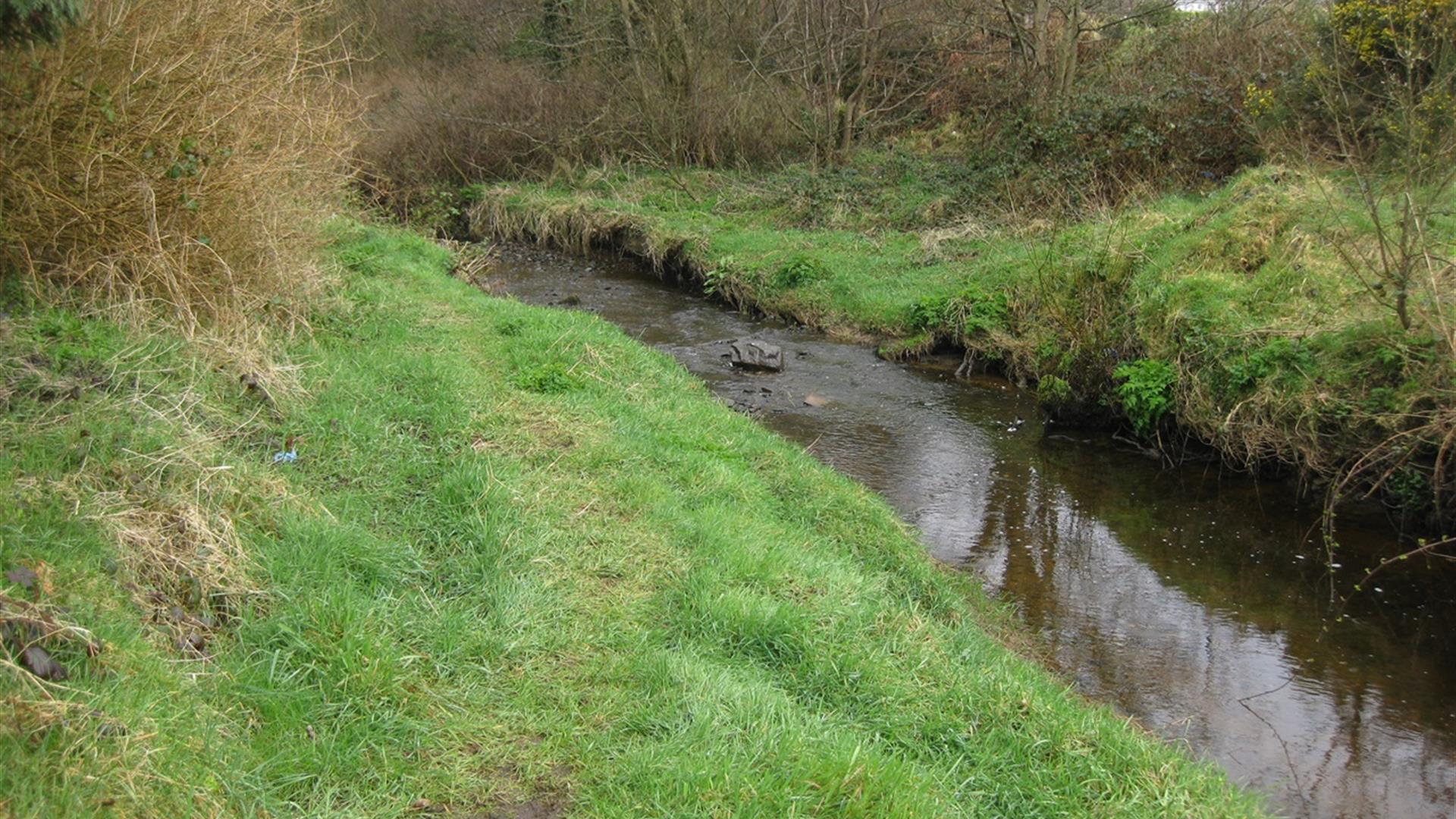
A peaceful off road route, leaving from the village of Killyclogher and winding its way through open farmland, and following the Killyclogher Burn along the way.

Start Point:
H470 737

Finish Point:
H476 753

Route:
Start the route by passing through the gap in the bridge that crosses over the Killyclogher Burn on the Old Mountfield Road. Continue to follow the worn path along the edge of the burn, until reaching a large stile – parts of this section are wet underfoot. Cross the stile and continue along the edge of the field with the burn on your right, crossing over several other stiles in the process. You eventually come to a small gated bridge crossing a stream, pass over this bridge and continue uphill to reach the end of the route. Retrace your steps to get back to the start.

Distance:
0.8 miles

Terrain:
Grass path, open fields

Point of interest:
Killyclogher Village, Killyclogher Burn

Facilities:
Car parking

Nearest town:
Killyclogher

OS map:
13

Book Tickets

Facilities

Provider Preferences

  • Free (parking charges may apply)

Map & Directions

What's Nearby

  1. Dún Uladh is a centre which showcases Irish culture: dance, song, language, crafts and…

    0.94 miles away
  2. Let me help you discover your family roots in Northern Ireland. As well as identifying…

    1.39 miles away
  3. Strule Arts Centre is situated in the heart of Omagh, County Tyrone. Strule Arts Centre…

    1.41 miles away
  4. The Abingdon Collection represents over 45 years of passionate collecting and is divided…

    3.39 miles away
  5. Journey back in time at the Ulster American Folk Park, from the Old World of Ulster to…

    4.27 miles away
  6. Explore the grounds & meet the farm animals. Come and take a walk through history as you…

    5.09 miles away
  7. There are over 10km of walking trails, a 6km scenic drive, wildfowl enclosure and deer…

    5.23 miles away
  8. Located 3km from An Creggan, this is a burial chamber which has a front chamber and a…

    7.53 miles away
  9. The power of the O’Neill chieftains in Tyrone came to an end in 1607. Defeated in battle…

    8.64 miles away
  10. Thought to have been built around 1320 by a local chieftain of the O’Neill clan, but…

    8.65 miles away
  11. Set in breath-taking surroundings you can recharge your batteries and enjoy one of the…

    9.96 miles away
  12. This is the only example of an Ogham Stone inscription in County Tyrone, situated 7km…

    11.06 miles away
  13. On top of a steep hill, the tomb has a modern cairn over the top to protect prehistoric…

    12.03 miles away
  14. This well preserved and unusual monument is in an extensive area of blanket peat near the…

    12.94 miles away
  15. This Castle commands a strategic location on the River Derg. Recent excavations revealed…

    14.62 miles away
  16. Mysterious complex of 7 Bronze Age stone circles and alignments. It's where megalithic…

    14.73 miles away

Virtual Tour

Map & Directions

Back to Top

Tourism Northern Ireland

Don't Miss