

Book Tickets Online
About
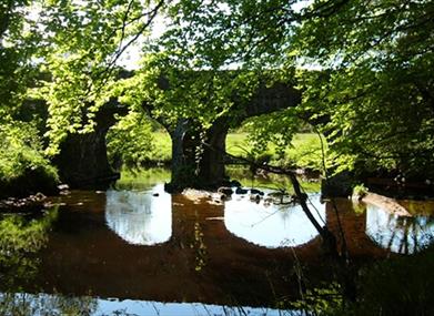
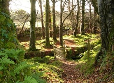
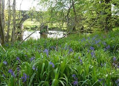
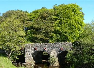
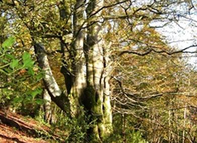
PLEASE NOTE: No public access on the following dates due to private pheasant shoots: 10 November 2018, 19 January 2019 and 26 January 2019.The linear waymarked Errigal Glen Walk (follow green waymarkers) starts and finishes at the Errigal Bridge entrance to Errigal Glen on Temple Road, approx. 3 miles south west of Garvagh. The route follows the fast flowing Agivey River through the steep-sided and well-wooded Glen. This short walk is part of the longer circular Errigal Glen Trail (2.5 miles). This section of route is relatively flat with natural woodland floor underfoot - no formal path surface.
Start Point:
C812145
Finish Point:
C812145
Route:
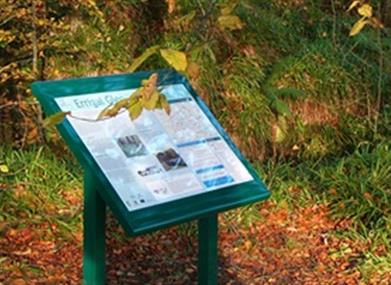
The linear waymarked Errigal Glen Walk (follow green waymarkers) starts and finishes at the Errigal Bridge entrance to Errigal Glen on Temple Road. The route follows the fast flowing Agivey River through the steep-sided and well-wooded Glen. For safety reasons, please keep to the waymarked track through the Glen. Due to risk of falling trees and branches, public access is not encouraged through Errigal Glen during stormy weather. Having reached the end of the Glen, where it exits on to Churchtown Road, walkers turn around and retrace their steps through the Glen to the starting point. For information the longer Errigal Glen Trail (circular route, 2.5 miles) also starts and finishes at Errigal Bridge and passes along the same route through Errigal Glen (but due to the fact that it incorporates sections of on-road walking it has not been accredited as a quality walk). Interpretation panels have been placed at strategic points along the route.
Distance:
0.6 (One Way) miles
Terrain:
Woodland trail, no formal paths
Point of interest:
Agivey River and Errigal Glen woodland
Facilities:
Refreshments and toilets available in Garvagh, approx. 3 miles away.
Publication:
A Guide to Glenullin's Waymarked Trails
Publication availability:
Contact Coleraine TIC Tel: 028 7034 4723 or email info@northcoastni.com. Alternatively, available to download on this page.
Nearest town:
Garvagh
OS map:
Sheet 8
Accessible toilet facilities:
Yes
Accessible terrain:
Natural trodden path on woodland floor. No formal path surface. Undulating and uneven in places. Depending on weather, can be slippery underfoot. Tree roots protruding underfoot. Unlike the longer Errigal Glen Trail, there are no stiles on this shorter walk. Not suitable for wheelchairs.
Book Tickets
Facilities
Provider Preferences
- Free (parking charges may apply)


