


Book Tickets Online
About
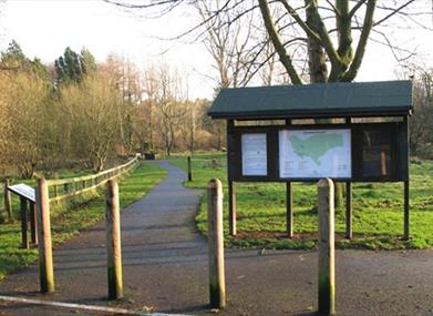
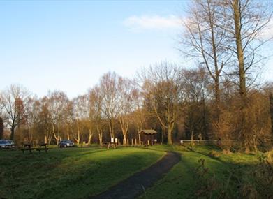
Somerset Forest is located on the south western boundary of Coleraine. Within the forest there is a range of walks of varying lengths and degrees of difficulty. There is a short circular route to "Millennium Miles" standard, suitable for less able users. The paths are also suitable for jogging in conjunction with exercise apparatus situated in a fitness cluster close to the car parkStart Point:
C852304
Finish Point:
C852304
Route:
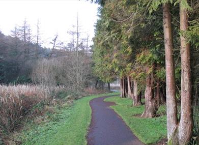
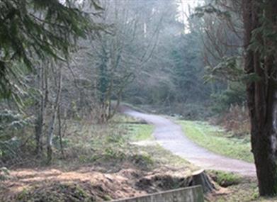
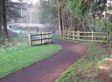
From the car park there are two waymarked paths that lead through a wide variety of broadleaved and conifer trees. These paths can be used for jogging. There is also a fitness cluster of exercise apparatus situated next to the car park. Guidance on how to use it safely and effectively is given on an illustrated lectern.
Distance:
2 miles
Terrain:
Gravel paths,...Read More
About
Somerset Forest is located on the south western boundary of Coleraine. Within the forest there is a range of walks of varying lengths and degrees of difficulty. There is a short circular route to "Millennium Miles" standard, suitable for less able users. The paths are also suitable for jogging in conjunction with exercise apparatus situated in a fitness cluster close to the car parkStart Point:
C852304
Finish Point:
C852304
Route:
From the car park there are two waymarked paths that lead through a wide variety of broadleaved and conifer trees. These paths can be used for jogging. There is also a fitness cluster of exercise apparatus situated next to the car park. Guidance on how to use it safely and effectively is given on an illustrated lectern.
Distance:
2 miles
Terrain:
Gravel paths, easy walking
Point of interest:
Herons, squirrels, other wildlife
Facilities:
Refreshments and toilets available in Coleraine.
Publication:
None
Nearest town:
Coleraine
OS map:
Sheet 4
Accessible terrain:
Off road unsurfaced paths Read Less
Book Tickets
Facilities
Provider Preferences
- Free (parking charges may apply)

