Official tourism website for Northern Ireland
En

Highway to Health, Castlereagh

Co Down
Highway to Health, Castlereagh

Book Tickets Online

About

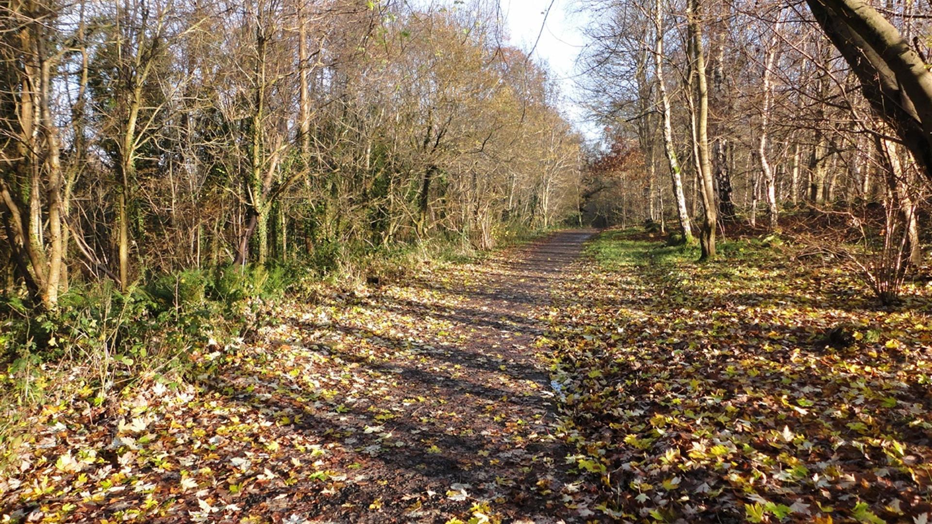
This short walk leads through Belvoir Park Forest in the south of Belfast, with views over River Lagan.

Start Point:
J338690

Finish Point:
J338690

Route:
This walk proceeds from the car park at Belvoir Park Forest, Belvoir Drive. As this path is a circular walk, you are able to commence at any point on the circuit and walk in either direction. At the car park, signs are located both to your left and right hand side, please note that the following route description commences from the path on your right hand side of the car park. The beginning of this path takes you through mature trees within the wooded part of Belvoir Park Forest. As the path arrives at a natural clearing, it then veers right, leaving Belvoir Park Forest heading out towards Belvoir Drive. The route continues along Belvoir Drive, passing the Belvoir Activity Centre and Primary School. At this point the path turns right and heads back into the Forest, where again you are surrounded by lovely mature trees and depending on the season, bluebells! The path continues to take you up and around the back of the Forestry Offices, where the Headquarters of the Royal Society for the Protection of Birds is also located. The walk concludes at the car park. The route is clearly marked with designated Highway to Health signage both within the Forest and on Belvoir Drive.

Distance:
1.6 miles

Terrain:
Forest paths, some hills

Point of interest:
Belvoir Park Forest

Facilities:
Parking

Publication:
Highway to Health - Castlereagh

Publication availability:
Lisburn and Castlereagh City Council (028 9244 7622), or available to download on this page.

Nearest town:
Belfast (Castlereagh)

OS map:
Sheet 15

Book Tickets

Facilities

Provider Preferences

  • Free (parking charges may apply)

Map & Directions

What's Nearby

  1. Managed by the Forest Service, Belvoir Park Forest is unique in the UK as it is a working…

    0.33 miles away
  2. Lagan Valley Regional Park is recognised as Northern Ireland's only Regional Park. It…

    0.83 miles away
  3. Minnowburn is 128 acres of woodland and countryside, owned by the National Trust and…

    0.9 miles away
  4. Refreshingly little is known about this prehistoric enclosure, over 600 ft in diameter,…

    1.11 miles away
  5. Journey through the history of rugby in Ulster with a self-guided tour of The Nevin…

    2.01 miles away
  6. The Museum of Orange Heritage, Schomberg House, focuses on the history and traditions of…

    2.01 miles away
  7. Ulster Museum is home to treasures past and present. There’s something for art lovers,…

    2.09 miles away
  8. First established in 1828, the gardens have been enjoyed as a public park by the people…

    2.11 miles away
  9. Guided tours of George Best House are available to book and are led by expert local…

    2.18 miles away
  10. The beautiful Sir Thomas and Lady Dixon Park comprises rolling meadows, woodland,…

    2.23 miles away
  11. The fine façade of the Main Building, designed by Charles Lanyon, conceals a quiet,…

    2.25 miles away
  12. The Naughton Gallery, located in the historic Lanyon Building at Queen’s University, is…

    2.26 miles away
  13. The library and archive of the Presbyterian Historical Society of Ireland is an important…

    2.31 miles away
  14. Ormeau Park is the oldest municipal park in Belfast, officially opening to the public in…

    2.37 miles away
  15. The museum tells the story of the Royal Ulster Rifles from 1793 to 1968. From the raising…

    2.97 miles away
  16. Áras Uí Chonghaile | The James Connolly Visitor is an award-winning modern,…

    3.03 miles away

Virtual Tour

Map & Directions

Public Transport Directions

This walk starts at Belvoir Forest Park. Look out for brown signs to Belvoir Park Forest off the Outer Ring (A55) - the turn off to the forest is opposite Tescos at Newtownbreda.

Back to Top

Tourism Northern Ireland

Don't Miss