Book Tickets Online
About
A waymarked route on National Trust Land taking in the north of the island, stunning views out to the Atlantic and ScotlandStart Point:
D146 515
Finish Point:
D146 515
Route:
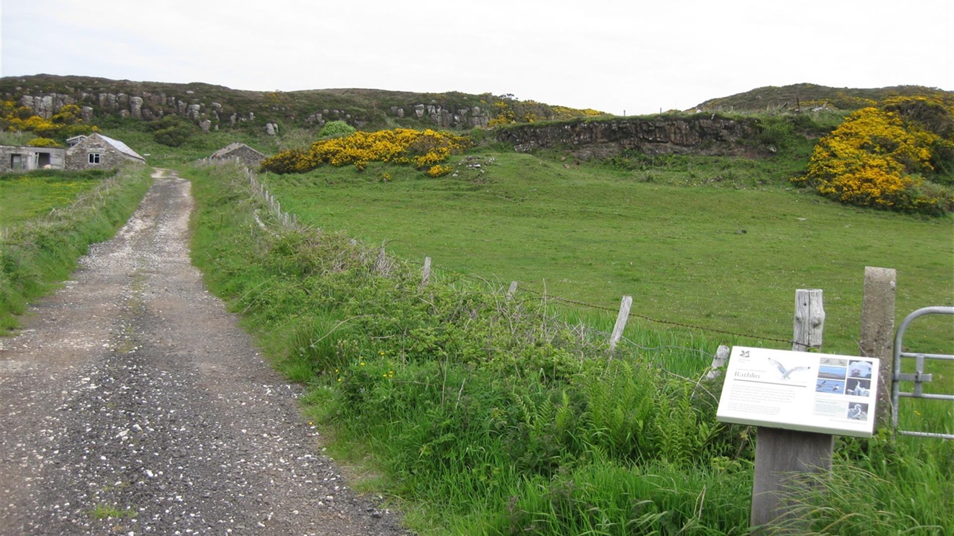
Follow the road to your left leading west from the harbour. Turn right by the church and up the Church Brae to the chapel. Take the road bearing right passing the chapel and follow this for 300m until reaching a lane on your left hand side with a National Trust information panel. Follow this lane for 200m until you reach a metal kissing gate on your right hand side. Follow the waymarked posts (green arrows) straight on before bearing round to the left. This route travels in an anti clockwise direction and leads across open countryside, with views of the East Lighthouse and Scotland further beyond this. The arrows direct you to the top of the cliffs on the northern side of the island, before directing you back to a farm track which winds its way back through the hillside to the metal kissing gate at the start of the route. An optional diversion includes going to visit the old Coast Guard Station, so when you reach the farm track, bear right rather than left to wind your way up the hill to the station. Retrace your steps to rejoin the trail. Please note that there may be livestock present on this trail.
Distance:
1.8 miles
Terrain:
open hillside and farm track
Point of interest:
Coastguard station, Church quarter
Facilities:
Toilets, pub, cafe and small shop available at Rathlin Harbour
Publication:
Rathlin Island Walking Leaflet
Publication availability:
Available at the Ferry Terminal, on the ferry, or can be downloaded on this page.
Nearest town:
Rathlin Harbour
OS map:
5
Facilities
Provider Preferences
- Free (parking charges may apply)


