Book Tickets Online
About
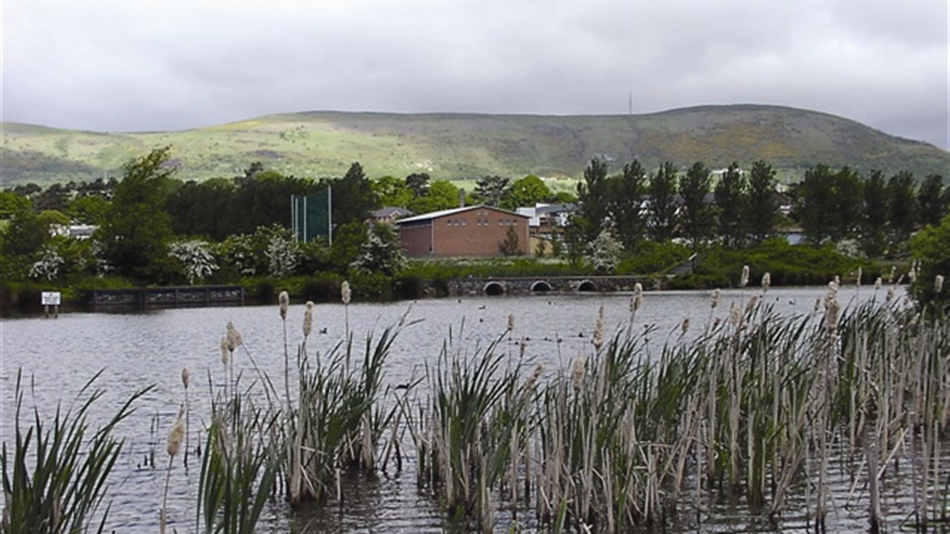
This route explores an area of floodplain, now managed as an award wining urban nature reserve which provides a fanatstic oasis for wildlife.Start Point:
J315725
Finish Point:
J315725
Route:
From the car park follow the path to the left of the playing fields. When you reach a footbridge take this over the Ballymurphy Stream, then take the path on your left. This leads around the perimeter of the site past some willow trees with the meadows on your right. The path continues adjacent to some houses and near the M1 motorway. Around the site there are viewing platforms which allow you to pause and appreciate the site’s rich biodiversity and the views of the Belfast Hills. Follow the path until you reach a junction then turn right alongside the main pond; off to the right is another viewing mound and platform. Cross another footbridge and turn right out around the meadows. The path runs alongside a drainage channel on your left and another viewing mound on your right. The path then turns right with willow trees between the path and Milltown Cemetery. At the next junction turn left which leads you to the car park via a steep hill. Disabled users should keep right and follow the gravel paths around the playing fields back to the car park.
Distance:
1.1 miles
Terrain:
Mainly level stone paths
Point of interest:
This site has fantastic flora and fuana
Facilities:
None on site. Refreshments available locally.
Publication:
A Walk in the Park. Bog Meadows Leaflet.
Publication availability:
Belfast City Council Parks + Open Spaces: tel 028 9032 0202 ext 3199 or email parksinfo@belfastcity.gov.uk. Bog Meadows Leaflet also available to download on this page.
Nearest town:
Falls Road, Belfast
OS map:
Sheet 15 & Belfast Street Finder
Accessible terrain:
Mostly level stone paths
Facilities
Provider Preferences
- Free (parking charges may apply)


