Official travel trade website for Northern Ireland
En

Ardminnan Golf Club

15 Ardminnan Road, Portaferry, County Down, BT22 1QJ
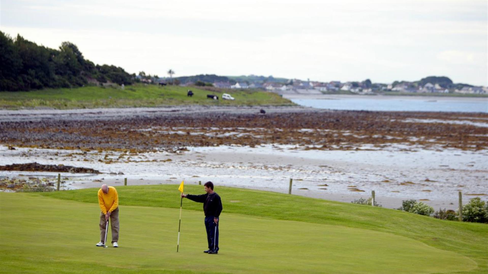
Photo of two golfers in play with stunning scenery to the background

Book Tickets Online

About

Situated in a scenic spot overlooking the Irish Sea and just 5 minutes from both Portaferry and Kircubbin, this nine hole treat is perfect for starting a day’s touring with a quick round featuring water hazards, challenging holes and other parkland pleasures. Enjoy lunch in the fully licensed bar and restaurant before exploring the Ards Peninsula.

Golf Club:
Type of course: Parkland Course professional: No

Best days to play:
Any day.

SSS:
69

Length in yards:
6,048

Par of course:
70

Course designer:
Frank Ainsworth

Handicap/certificate requirements:
None required

Facilities

Attraction Facilities

  • 9 holes
  • Club Hire
  • Dress code
  • Trollies available

Catering

  • Restaurant on site

Establishment Features

  • Tuition Available

Payment Methods

  • All major credit/debit cards accepted

Add Ardminnan Golf Club to your Itinerary

Close window

Call direct on:

Tel+44 (0) 28 4277 1321

Map & Directions

What's Nearby

  1. Within it are the ruins of a medieval church which is believed to be the Church of…

    0.52 miles away
  2. Owned by the National Trust, it is a picturesque 18th century fishing village with scenic…

    1.81 miles away
  3. Traditionally believed to have been built by Roland Savage of Ballygalget in 1622,…

    2.05 miles away
  1. These ruined churches are situated one and a half miles north east of Portaferry on the…

    2.45 miles away
  2. Situated on the hill south east of the town below the stump of Portaferry Windmill, a lay…

    3.8 miles away
  3. Portaferry Castle is a 16th Century tower-house, built by the Savage family. It is…

    3.94 miles away
  4. Enjoy a diver's view of marine life from around the world without getting wet. An…

    3.95 miles away
  5. Discover how Echlinville Distillery captures the flavour, colour and mouthfeel of their…

    4.16 miles away
  6. The church at St Cooey’s Wells is thought to date from the 7th century but only the…

    4.56 miles away
  7. The castle dates probably from around the 15th century, but the early history is unknown.…

    4.82 miles away
  8. Burr Point, the most easterly point on the island.

    5.37 miles away
  9. Discover a place of contrasts and creativity at Castle Ward, an eccentric 18th century…

    5.55 miles away
  10. Cloghy Rocks is a wonderful location as a number of seals are often spotted here. There…

    5.63 miles away
  11. Ballyquintin Nature Reserve includes Ballyquintin Point at the tip of the Ards Peninsula,…

    5.75 miles away
  12. Kilclief Castle was built between 1413 and 1441, reputedly by John Sely, bishop of Down.…

    6.26 miles away
  13. Restored ruins of a sixth century church of St. Tassach, said to have given the last…

    7.67 miles away
Previous Next

Map & Directions

Road Directions

Directions from Town:
A20 from Belfast, Newtownards, Greyabbey, Kircubbin then B173 to Cloughey. Right at T junction and approximately 2 miles staying on Coast Road.

Back to Top

Tourism Northern Ireland

Don't Miss