Official travel trade website for Northern Ireland
En

Plantin Park

Derrynoyd Road, Draperstown, County Londonderry, BT45 7FA
Plantin Park

Book Tickets Online

About

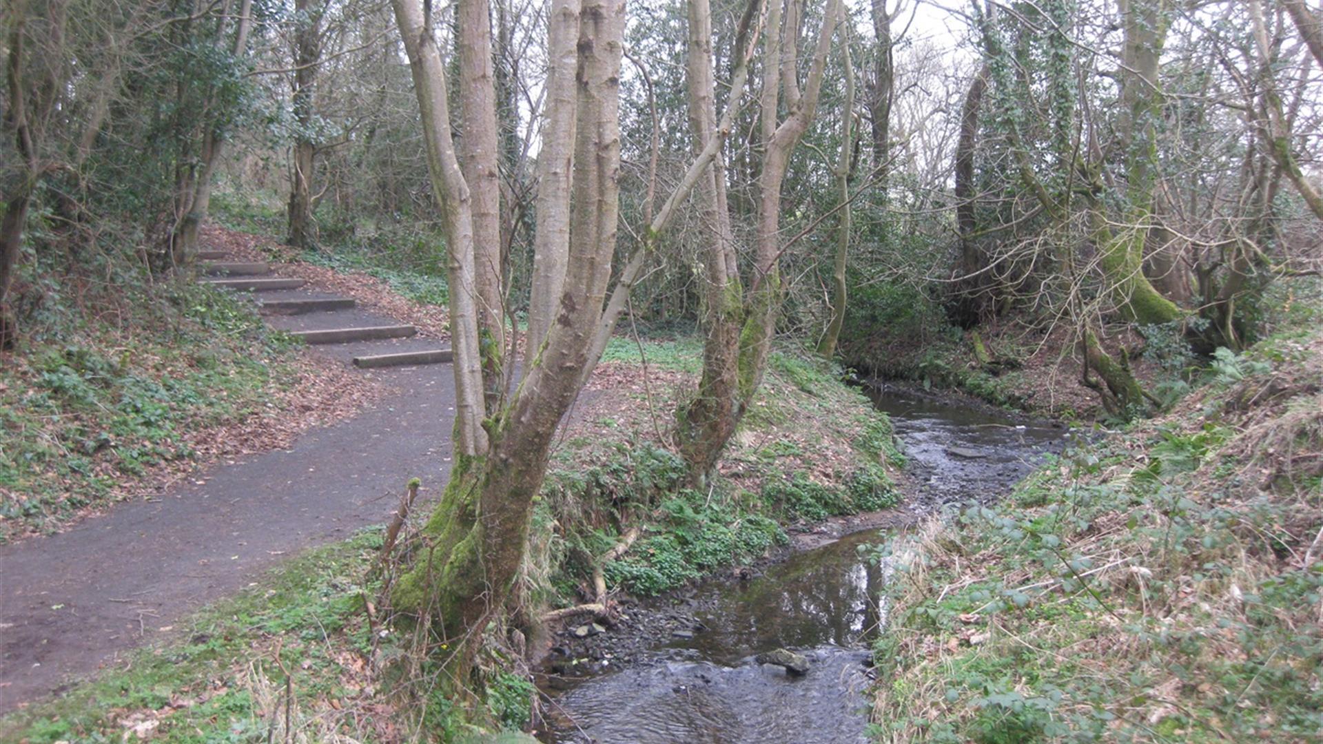
Enjoy a stroll through the Plantin Park hidden away in the middle of Draperstown.

Start Point:
H782 946

Finish Point:
H782 946

Route:
The walk is on surfaced pathways over footbridges and along a small tributary of the Moyola River. The trail can be accessed from the Derrynoid Road entrance or via Moykeeran Housing Estate on the Tobermore Road. Following a circular route the trail leads uphill to a view point with lovely views northwest towards Mullaghmore and Moydamlaght forest. For such a small area there is a good mix of habitat that attracts birdlife, insects and wildlife including bats, grey squirrel and fox.

Distance:
0.6 miles

Terrain:
Tarmac paths, steep in places

Point of interest:
Draperstown village, stream

Facilities:
Children’s play park, seating, picnic area and a small playing field.

Publication:
Gateway to the Sperrins - A Guide for Walkers

Publication availability:
Available for download from this page

Nearest town:
Draperstown

OS map:
13

Map & Directions

What's Nearby

  1. Nestled in a secluded area located 2.5 miles to the North West of Maghera, Tirkane is a…

    5.45 miles away
  2. One mile north of Maghera stands a prehistoric tomb at least 4,000 - 6,000 years old.…

    5.53 miles away
  3. An Coire Arts Centre provides the perfect setting for the delivery of a wide range of…

    6.09 miles away
  1. Lissan House is an enchanting country residence set within a 260 acre demesne of ancient…

    7.91 miles away
  2. A megalithic tomb, dating to the Neolitic or New Stone Age (2000-4000) is found in…

    8.55 miles away
  3. Mysterious complex of 7 Bronze Age stone circles and alignments. It's where megalithic…

    9 miles away
  4. Step back to 1912 as you experience the Lenox-Conyngham home on the morning they left to…

    9.22 miles away
  5. Augustinian priory with a 15th-century tomb of Cooey-na-Gall, an O'Cahan chief, who died…

    9.97 miles away
  6. Seamus Heaney HomePlace takes you on an inspiring journey through the life and work of…

    10.5 miles away
  7. Built around 1619 by Sir Baptist Jones, Bellaghy Bawn is a fortified house and bawn (the…

    10.61 miles away
  8. The attractive eighteenth-century demesne is now a forest park. Colourful in spring and…

    10.69 miles away
  9. Church Island is a small island on Lough Beg - 1.5 miles from Bellaghy. On a visit to the…

    11.95 miles away
  10. This is the only example of an Ogham Stone inscription in County Tyrone, situated 7km…

    12.28 miles away
  11. Travel 3 miles west of Garvagh town and you will begin to enter Gortnamoyagh Forest,…

    12.58 miles away
  12. Providing tourists with in-depth and informative insight into the fishing industry on the…

    13.04 miles away
  13. Tullaghoge Fort was a royal power centre which came to historical prominence in the 11th…

    13.08 miles away
Previous Next

Map & Directions

Road Directions

Take the Derrynoyd Road from the village of Draperstown, the entrance to the park is on the right hand side immediately after taking the Derrynoyd Road.

Public Transport Directions

Translink - journeyplanner.translink.co.uk

Back to Top

Tourism Northern Ireland

Don't Miss