Official travel trade website for Northern Ireland
En

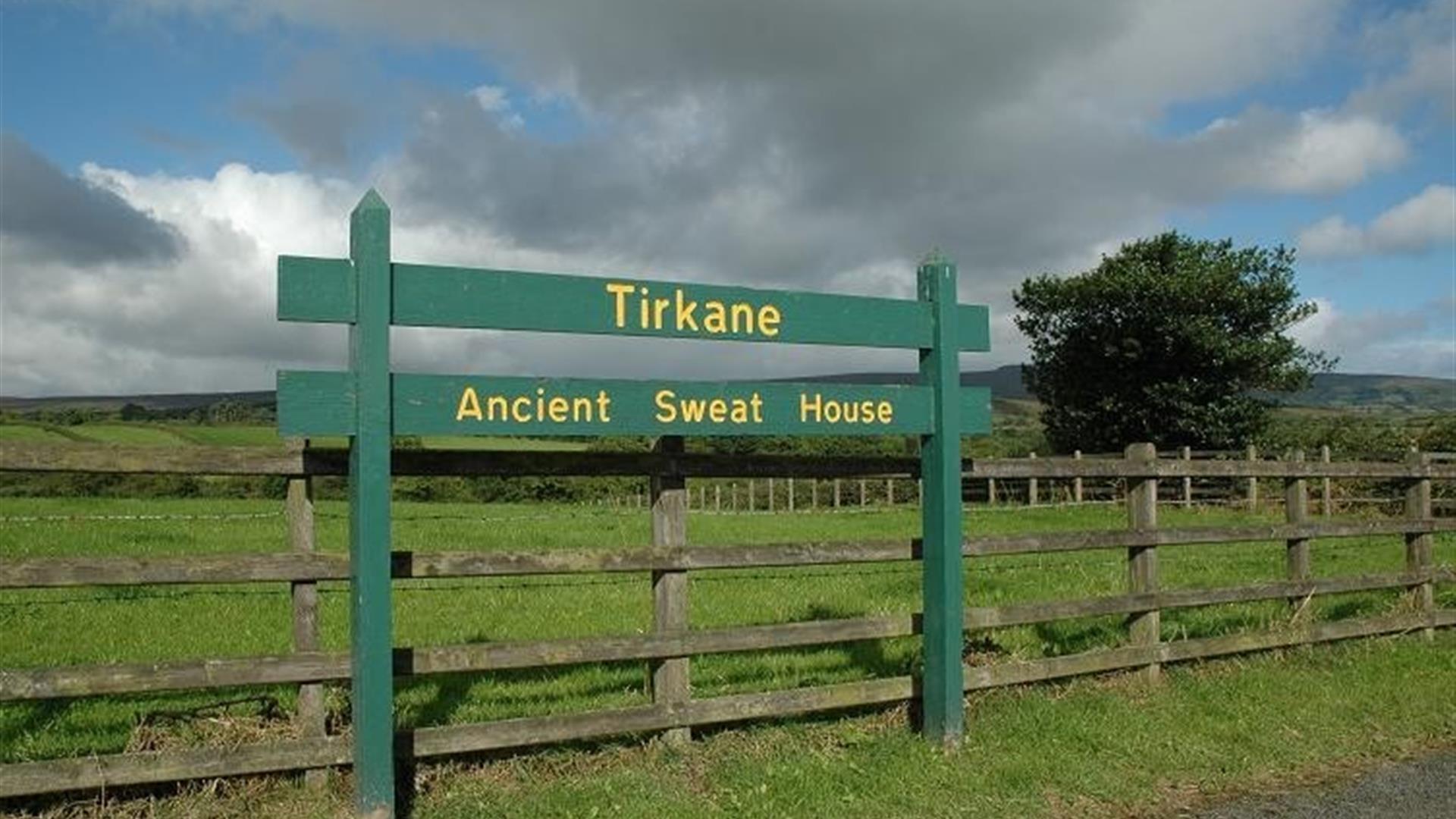
Tirkane Sweathouse

Urbalshinny Road, Maghera, County Londonderry, BT46 5PD
Tirkane Sweathouse

Book Tickets Online

About

Nestled in a secluded area located 2.5 miles to the North West of Maghera, is a well preserved Sweathouse. A Sweathouse was a type of early sauna, used in Ireland in the 18th and 19th centuies, but its origins may date back much further.

It is a rectangular structure built against the side of a hill with a roof made of flat stones with a small chimney hole in one corner. The floor is paved with stone

This unusual dry-stone structure was used to cure fevers and pains up to the end of the 20th century, and many similar sites around the country were built in the 18th and 19th centuries. In Germany, these sites are known as Irish baths and this suggests that Irish Missionaries who travelled to Europe in the Dark Ages introudced sweathouses to that county.

A fire of turf or wood was lit inside the structure and the entrace was closed so that the heat built up and the stones became very hot. Then rushes were spread on the hot floor and water thrown on the stones to produce steam. The patient then sat in the sweathouse for as long as possible before emerging to bathe in a nearby small stream. It is only one of five such monuments in the country.

Facilities

Provider Preferences

  • Free (parking charges may apply)

Add Tirkane Sweathouse to your Itinerary

Close window

Call direct on:

Tel+44 (0) 28 9082 3207

Map & Directions

Opening Times

* Access to sweathouse is temporarily not possible due to health and safety works.

What's Nearby

  1. An Coire Arts Centre provides the perfect setting for the delivery of a wide range of…

    0.72 miles away
  2. One mile north of Maghera stands a prehistoric tomb at least 4,000 - 6,000 years old.…

    0.88 miles away
  3. A megalithic tomb, dating to the Neolitic or New Stone Age (2000-4000) is found in…

    3.7 miles away
  1. Travel 3 miles west of Garvagh town and you will begin to enter Gortnamoyagh Forest,…

    7.97 miles away
  2. Covering 200 hectares, Garvagh forest is situated on the Western outskirts of Garvagh,…

    8.09 miles away
  3. Seamus Heaney HomePlace takes you on an inspiring journey through the life and work of…

    8.46 miles away
  4. Built around 1619 by Sir Baptist Jones, Bellaghy Bawn is a fortified house and bawn (the…

    8.61 miles away
  5. Augustinian priory with a 15th-century tomb of Cooey-na-Gall, an O'Cahan chief, who died…

    9.17 miles away
  6. Portglenone Forest continues a history of tree cover on this site established since…

    9.82 miles away
  7. Church Island is a small island on Lough Beg - 1.5 miles from Bellaghy. On a visit to the…

    10.31 miles away
  8. Providing tourists with in-depth and informative insight into the fishing industry on the…

    12.26 miles away
  9. Bovevagh parish church was established in the late Middle Ages on the site of an early…

    12.25 miles away
  10. Step back to 1912 as you experience the Lenox-Conyngham home on the morning they left to…

    12.45 miles away
  11. Lissan House is an enchanting country residence set within a 260 acre demesne of ancient…

    12.65 miles away
  12. Arthur Cottage, Cullybackey, is the Ancestral Home of the 21st President of the USA…

    13.99 miles away
  13. Mysterious complex of 7 Bronze Age stone circles and alignments. It's where megalithic…

    14.39 miles away
Previous Next

Map & Directions

Road Directions

Directions from Town:Near Lough Bran on the ruins of Killelagh Church.

Back to Top

Tourism Northern Ireland

Don't Miss