Official travel trade website for Northern Ireland
En

Dungannon Park - The Park Trail

Co Tyrone
Dungannon Park - The Park Trail

Book Tickets Online

About

The Park Trail is set amongst the beautiful backdrop of Dungannon Park - a 70 acre oasis.

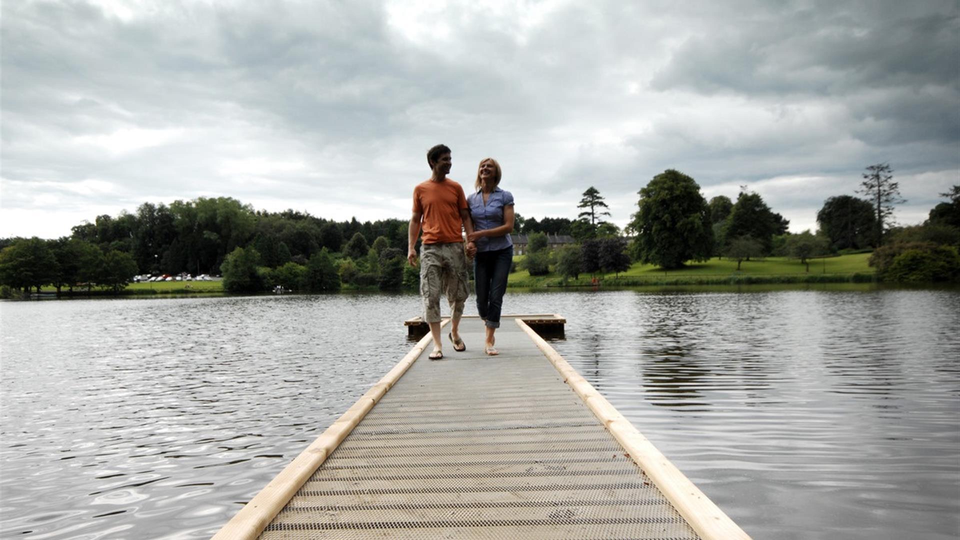
The walk's interesting paths surround the grounds mature woodland, brightly coloured flowerbeds and the magnificent 13 acre freshwater lake.

High ground offers the walker splendid viewpoints of surrounding townland and countryside with views of Lough Neagh on a clear day.

The trail is open all year round - opening hours apply.

Start Point:
H805612

Finish Point:
H805612

Route:
The walk starts from the car park at Dungannon Park from there follow the path leading down to the lake passing the fishing lodge as you go, (wooden hut). Go left, continue along this path the entire way around the lake passing over a bridge; continue to follow the path along the lakeside. Descend the gradient at the bottom of the lake and pass by the dam over a newly built wooden bridge. Where there is a fork in the road, follow the path to the left taking a right approximately 200 yards along the path. Meander up a gradient hill and admire the view once you have reached the top. This hill is known as Nunnery Hill. Continue along the fence through the gravel area and descend the hill on the other side. At the bottom of the hill go straight ahead following a tarmac path alongside open grassland area and the Park's football pitches. This will bring you back to the car park.

Distance:
1.2 miles

Terrain:
Level surfaced paths, some grave

Point of interest:
The Park Lake, Nunnery Hill (views), Old Strone Dam & Waterfall

Facilities:
Confectionery and hot/cold drinks are available from the vending machines in the amenity building 50 yards from the start and end of the walk. Toilet facilities including a disabled toilet can also be accessed in the amenity building . Car-parking and disabled carparking is available in the grounds of Dungannon Park.

Publication:
None

Nearest town:
Dungannon Town

OS map:
19

Accessible toilet facilities:
Yes

Accessible terrain:
Level surfaced paths for 3/4 mile approximately, leading to gravel path 1/4 mile approximately with a gentle gradient coming back on to a level tarmac path for remainder of the walk

Accessible signage:
Walk not currently signed

Facilities

Provider Preferences

  • Free (parking charges may apply)

Map & Directions

What's Nearby

  1. Dungannon Park is a seventy acre oasis centred round an idyllic stream fed lake. The…

    0.2 miles away
  2. Ruins of mansion built by Sir Toby Caulfield in 1619. Gatehouse with murder-holes and…

    3.26 miles away
  3. The gin school at Woodlab Distillery is a unique experience in the science of harnessing…

    3.91 miles away
  1. The Argory was built in the 1820s and its hilltop location offers wonderful views over…

    4.43 miles away
  2. Benburb Castle is dramatically sited on the cliff edge above the River Blackwater in the…

    5.76 miles away
  3. We invite you to come and explore Peatlands Park. This beautiful area has a wonderful…

    5.83 miles away
  4. Ardress is nestled in the apple orchards of County Armagh and offers afternoons of fun…

    7.4 miles away
  5. Explore the cottage of the Simpson family with close ties to Ulysses Simpson Grant, the…

    7.84 miles away
  6. Tullaghoge Fort was a royal power centre which came to historical prominence in the 11th…

    8.21 miles away
  7. Sloan’s House Museum holds a unique role in Irish history and has over the years…

    8.45 miles away
  8. Dan Winter’s house was repaired and rethatched in 2000 keeping original artefacts and…

    9.34 miles away
  9. The Navan Fort, located just two miles from Armagh City, is a place where myth and…

    10.33 miles away
  10. Cardinal Ó Fiaich's papers and books form the nucleus of the collection along with the…

    10.38 miles away
  11. This imposing cathedral, on an elevated site, was started in 1840, but work was suspended…

    10.48 miles away
  12. Navan Centre, located just two miles from the Cathedral City of Armagh, interprets one of…

    10.56 miles away
  13. Armagh Ancestry offers a comprehensive genealogical service to those whose ancestors came…

    10.58 miles away
Previous Next

Map & Directions

Road Directions

Situated Off the Moy Road (A29) Dungannon Park is centrally located in the Heartland of Ulster and is easily accessible in all directions. Just 1 mile from the Motorway, the M1 links the Park with Belfast. The A4 connects the West of Ireland and the A29 links the park with Armagh and Cookstown. From Belfast: Leave Motorway at Junction 15 to join A29 towards Dungannon. Turn left at traffic lights signed Dungannon Park

Public Transport Directions

Translink - journeyplanner.translink.co.uk

Back to Top

Tourism Northern Ireland

Don't Miss