Official travel trade website for Northern Ireland
En

Crom

Co Fermanagh
Crom

Book Tickets Online

About

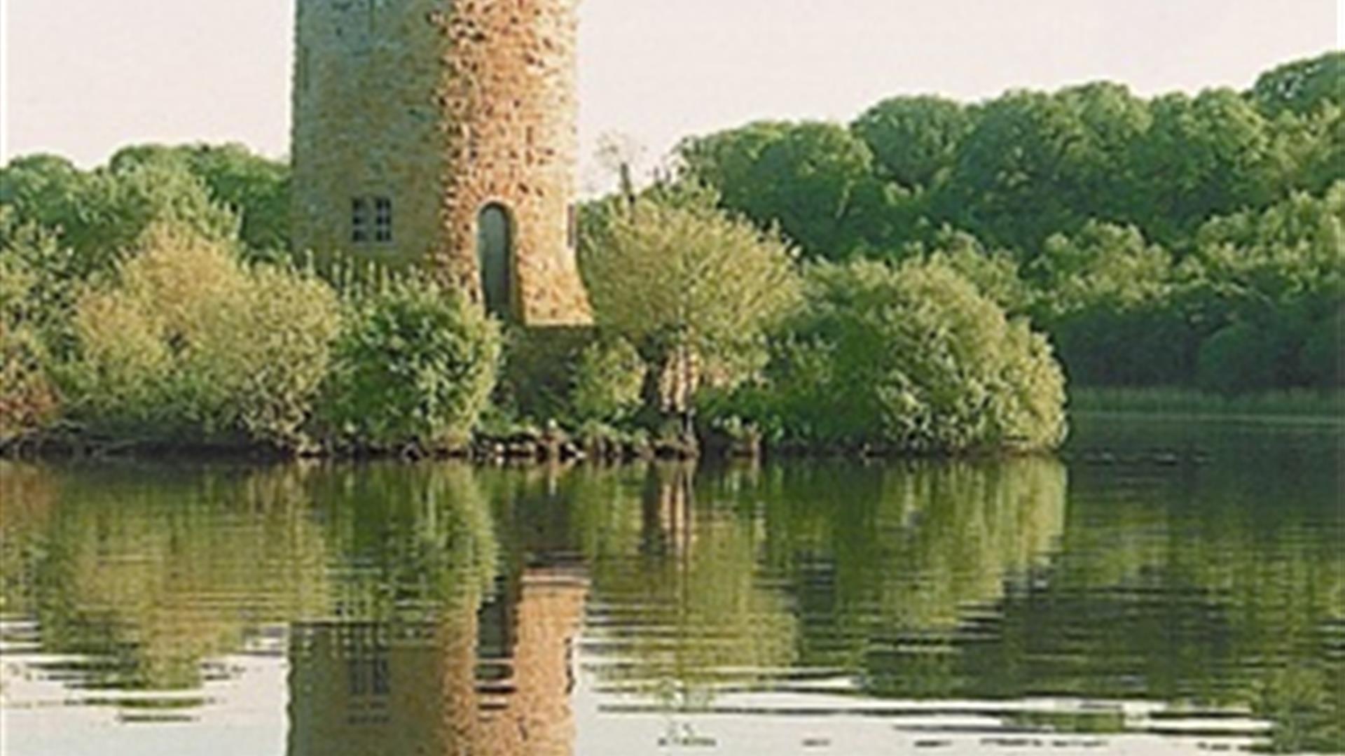
Discover a tranquil landscape of islands, woodland and historic ruins, on the shores of the Upper Lough Erne.

Start Point:
H362243

Finish Point:
H362243

Route:
From the car park, turn left onto the main drive walking past the holiday cottages on the left and the childrens play area on the right. About 200m after the play area, turn left through the gate and follow the path through the parkland towards the Old Castle. Continue on along the shoreline towards the boathouse. 100m after the boathouse, turn left across the White Bridge. Continue on with the walled garden on your right, following the path through the woodlands. The path comes back in a loop to the White Bridge. After returning over the white bridge, turn left along a road through the woods. The Estate's Summer House will be on the left. Continuing through the woods, you will pass a white bungalow on your right and see the estate's old sawmill and turf house on the left. Continue through the woods, then take the next track on your left. This will bring you to a concrete lane. Turn right on to the lane and continue until you reach a crossroads with the main avenue. Follow signs for the Visitor Centre to return to the car park.   * Please note that National Trust entrance pricing applies for this walk. Please see the link below for details *

Distance:
4.2 miles

Terrain:
A variety of off-road paths

Point of interest:
Crom Old Castle, boat house, summer house, famous old Yew trees

Facilities:
Opening times: Grounds: - 16 March-31 May Daily 10am-6pm - 1 June-31 August Daily 10am-7pm - 1 Sept-31 Oct Daily 10am-6pm - 1 Nov-Mid March - Closed Visitor Centre + Tea Rooms Opening Times: - 16 March-30 Sept Daily 11am-5pm - 5 Oct-27 Oct Open Weekends Last Admission 1 hr before closing Picnic area, car park, toilets, family activity packs and childrens play area.

Publication:
Explore Northern Ireland by National Trust

Publication availability:
Available to download on this webpage.

Nearest town:
Newtownbutler

OS map:
Sheet 27

Accessible toilet facilities:
Yes

Accessible terrain:
Unsurfaced off-road paths

Facilities

Provider Preferences

  • Free (parking charges may apply)

Map & Directions

What's Nearby

  1. Set on the shores of Upper Lough Erne in County Fermanagh, Crom is one of Ireland's most…

    0.86 miles away
  2. Built in about 1618 by Sir James Balfour, a Scottish planter, the castle was in…

    5.8 miles away
  3. Fermanagh Fun Farm is the place where families love to come to make lasting memories. We…

    11.34 miles away
  1. Florence Court is a truly welcoming home. The house, formerly the home of the Cole…

    13.16 miles away
  2. Castle Coole one of Ireland's finest Neo-classical houses, allowing visitors to glimpse…

    13.26 miles away
  3. Forthill Park is a pleasantly wooded town park with walks, shrub gardens and children's…

    14.48 miles away
  4. The Marjorie Leonard Art Gallery is located in the Buttermarket, a beautifully restored…

    14.65 miles away
  5. Visit Frances Morris in her studio/gallery to view the latest exhibition of her Irish…

    14.67 miles away
  6. A trip to Headhunters Barber Shop & Railway Museum is like taking a remarkable journey…

    14.75 miles away
  7. Situated beside the River Erne in County Fermanagh, was built almost 600 years ago by…

    14.79 miles away
  8. A visit to The Inniskillings Museum at Enniskillen Castle is a journey through more than…

    14.8 miles away
  9. Portora Castle guards a former crossing point where the river joins Lough Erne. Built in…

    15.68 miles away
  10. Marble Arch Caves- Magical, Unique and Memorable. The Marble Arch Caves is a major…

    16.17 miles away
  11. The Cladagh Glen, located in the Cuilcagh Lakelands Geopark, is a stunning walk providing…

    16.24 miles away
  12. Famous for its perfect 12th-century round tower and ruined Augustinian abbey, Devenish…

    16.45 miles away
  13. Cuilcagh Lakelands UNESCO Global Geopark is located in the rugged mountainous uplands and…

    16.78 miles away
Previous Next

Map & Directions

Road Directions

Crom is accessible by car, bus, bike or ferry located 3 miles west of Newtownbutler, on the Newtownbutler- Crom road. Follow signs from Lisnaskea, (7 miles).

Public Transport Directions

Translink - journeyplanner.translink.co.uk

Back to Top

Tourism Northern Ireland

Don't Miss