Official travel trade website for Northern Ireland
En

Vinegar Hill Loop

Co Tyrone
Vinegar Hill Loop

Book Tickets Online

About

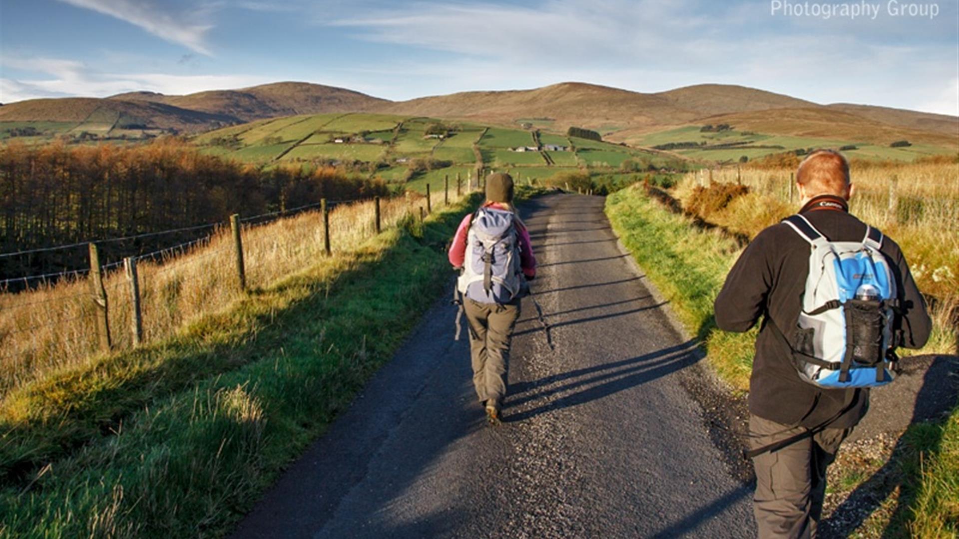
This 7 mile walk provides a taster of what the Sperrins have to offer, rolling hills, lush green valleys and a snapshot of rural life.

Start Point: H552905
Finish Point: H552905

Route: Start from Barnes Gap car park in Glenelly Valley clearly marked from Gortin and the B47. The car Park was once the site of The Barnes National School. Toilets available. This route is fully marked with way marked posts and directional arrows. It follows the same line as the Craignamaddy Route for some time but leaves it just after Scotch Town cross roads.The route follows The Craignamaddy Route and The Ulster Way at a small stand of coniferous trees at Garvagh. From the car park follow the finger post sign for the Craignamaddy Circuit across the road proceeding uphill to the top of the gap. Just over the brow of the hill a left turn leads to a gravel lane that contours Mullaghbolig. Continue on this track and descend into the Owenkillew Valley past Vinegar Hill on your right hand side. Pass through a farmyard onto a tarred road. Turn right and continue straight through Scotch Town cross roads until the next turn right. The Craignamaddy route turns right up this lane but Vinegar Hill route continues on straight. At the next cross roads follow two way marked posts and continue up hill through farm buildings on each side of the road. At the next junction continue straight on to Garvagh and a small stand of coniferous trees. Turn right and rejoin the Craignamaddy and Ulster Way routes along a gravel lane. This lane continues on to meet a tarred road, turn left and you are back at Barnes Gap. You can take the high road or the low road back to the car park. The route jointly facilitated by Omagh and Strabane District Councils. For further information contact Omagh TIC Tel - 028 8224 7831 or Strabane TIC Tel - 028 7138 4444 or see links below.

Distance:
7 miles

Terrain:
Gravel tracks and minor roads

Point of interest: Barnes Gap, Vinegar Hill

Facilities: Car Park

Nearest town: Gortin
OS map: OS Sheet 13

Accessible toilet facilities:Yes

Accessible terrain: no

Accessible signage:
Route is clearly way marked

Facilities

Provider Preferences

  • Free (parking charges may apply)

Map & Directions

What's Nearby

  1. This well preserved and unusual monument is in an extensive area of blanket peat near the…

    4.72 miles away
  2. This is the only example of an Ogham Stone inscription in County Tyrone, situated 7km…

    5.75 miles away
  3. There are over 10km of walking trails, a 6km scenic drive, wildfowl enclosure and deer…

    6.71 miles away
  1. Located 3km from An Creggan, this is a burial chamber which has a front chamber and a…

    8.26 miles away
  2. Set in breath-taking surroundings you can recharge your batteries and enjoy one of the…

    8.4 miles away
  3. Mysterious complex of 7 Bronze Age stone circles and alignments. It's where megalithic…

    9.02 miles away
  4. The power of the O’Neill chieftains in Tyrone came to an end in 1607. Defeated in battle…

    9.82 miles away
  5. Journey back in time at the Ulster American Folk Park, from the Old World of Ulster to…

    10.34 miles away
  6. Thought to have been built around 1320 by a local chieftain of the O’Neill clan, but…

    10.53 miles away
  7. The Abingdon Collection represents over 45 years of passionate collecting and is divided…

    10.97 miles away
  8. Dún Uladh is a centre which showcases Irish culture: dance, song, language, crafts and…

    11.89 miles away
  9. Let me help you discover your family roots in Northern Ireland. As well as identifying…

    12.73 miles away
  10. Strule Arts Centre is situated in the heart of Omagh, County Tyrone. Strule Arts Centre…

    12.74 miles away
  11. Set in the Burntollet Valley within Ness Country Park, this nature reserve provides the…

    12.74 miles away
  12. In the steep, wooded Glen of the Burntollet River, south-east of Derry/Londonderry, lies…

    13.35 miles away
  13. The Alley Arts and Conference Centre is a theatre complex, art gallery, visitor…

    13.68 miles away
Previous Next

Map & Directions

Road Directions

Barnes Gap car park is located at the junction of Landahussy Road and Mullaghbane Roads. These roads are accessible from the B47 Glenelly Road that links Plumbridge, Cranagh and Sperrin.

Public Transport Directions

Translink - journeyplanner.translink.co.uk

Back to Top

Tourism Northern Ireland

Don't Miss