Official travel trade website for Northern Ireland
En

Christie Park & Somerset

Christie Park, 55-65 Strand Road, Coleraine, County Londonderry, BT51 3AB
Christie Park & Somerset

Book Tickets Online

About

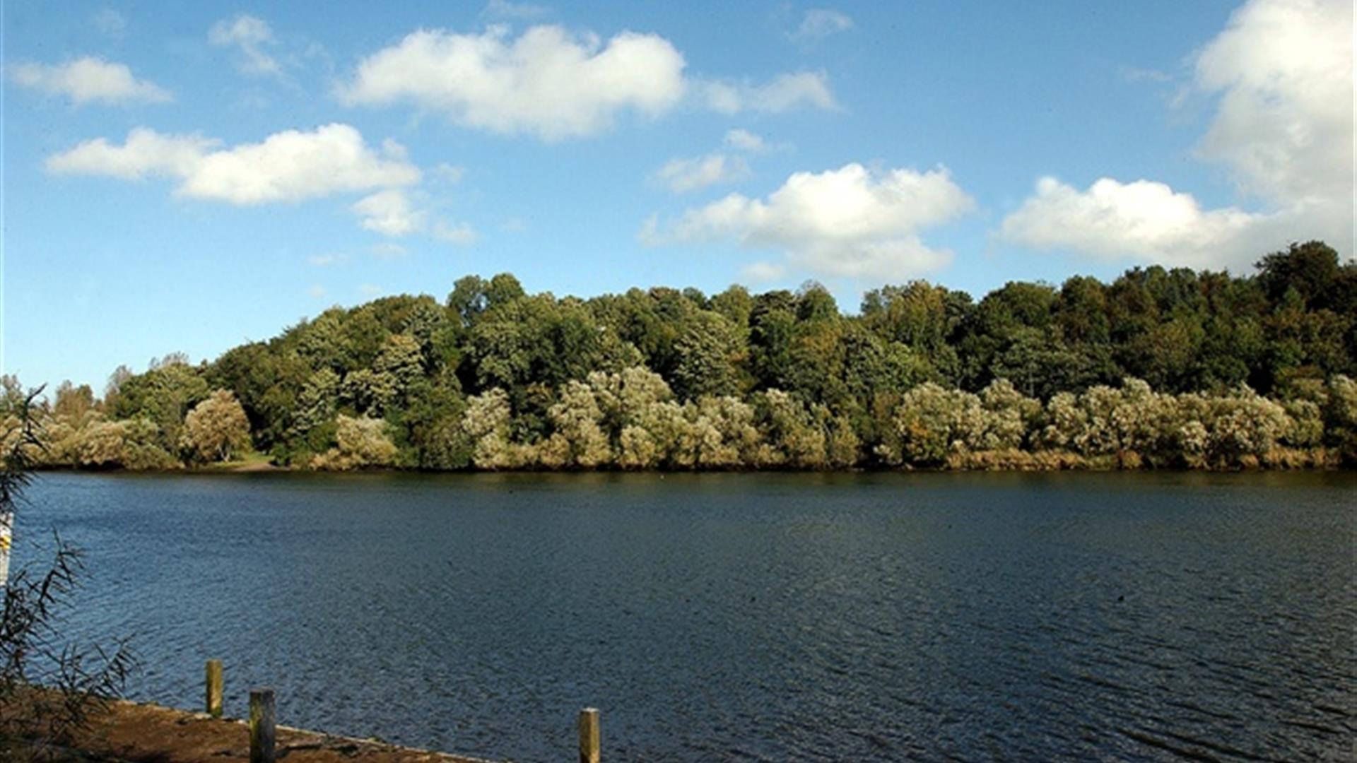
Pleasant riverside walk along surfaced footpaths, starting in the centre of Coleraine and finishing close to The Cutts area and opposite the historic Mountsandel Fort. The walk passes through two Council parks, both with different habitats that are managed in entirely different ways.

Start Point:
C847318

Finish Point:
C853304

Route:
The starting point for this walk is the car park in Christie Park. Follow the riverside pathway towards the new bridge (away from the town centre old bridge). Having passed under the new bridge, take the path to the left and proceed along this narrow riverside pathway until reaching the Somerset Riverside Park car park, opposite Mountsandel Fort. Take time along the route to enjoy the views over the Bann and study the interpretation panels provided. Having reached the car park walkers have the option of crossing the road and further enjoying a variety of walks within Somerset Forest.

Distance:
2 miles

Terrain:
Riverside surfaced pathways

Point of interest:
Mountsandel Fort, visible across the river

Facilities:
Toilets (disabled) available in in the car park on the Strand Road. Refreshments available in Coleraine.

Nearest town:
Coleraine

OS map:
Sheet 4

Accessible terrain:
Surfaced riverside paths

Facilities

Provider Preferences

  • Free (parking charges may apply)

Map & Directions

What's Nearby

  1. Coleraine Town Hall presides over the central shopping piazza in Coleraine. Designed by…

    0.27 miles away
  2. Mountsandel Wood is the earliest known settlement of man in Ireland dating to between…

    0.95 miles away
  3. Between Portstewart and the mouth of the River Bann lies the golden sands and domineering…

    3.63 miles away
  1. West Strand Beach, also known as West Bay or Millstrand is a popular resort beach in the…

    5.12 miles away
  2. Castlerock is a 1km (0.7 mile) long stretch of beach between the sea cliffs of Downhill…

    5.18 miles away
  3. East Strand Beach in Portrush is a famously golden sandy beach, with views of The…

    5.38 miles away
  4. The Arcardia includes children's feature paddling pools, play frame and sand area.…

    5.46 miles away
  5. Visitors to the area can explore this unique studio & gallery space featuring the work of…

    5.57 miles away
  6. Coastal Zone is home to coastal and marine exhibitions. Indoor rock pool with live sea…

    5.63 miles away
  7. Mussenden Temple is located in the beautiful surroundings of Downhill Demesne near…

    5.88 miles away
  8. Hezlett’s picturesque thatched cottage exterior hides a fascinating early timber frame…

    5.88 miles away
  9. A regular recipient of the prestigious Blue Flag Award, Whiterocks Beach has become a…

    5.94 miles away
  10. Downhill is a golden sandy beach stretching from Downhill Cliffs in the east towards…

    6.4 miles away
  11. Dunluce Castle is located dramatically close to a headland that plunges straight into the…

    6.84 miles away
  12. Ballymoney’s Arts, Museum and Visitor Information Centre is well worth a visit. This…

    7.3 miles away
  13. From the Mesolithic to Motorcycles, through rebellion and war, politics, industry, sport…

    7.35 miles away
Previous Next

Map & Directions

Road Directions

The start point for this walk is Christie Park Car park in Coleraine, accessed via the A29 (Strand Road).

Public Transport Directions

Translink - journeyplanner.translink.co.uk

Back to Top

Tourism Northern Ireland

Don't Miss