Official travel trade website for Northern Ireland
En

Castlerock Beach

Sea Road, Castlerock Stand, Castlerock, County Londonderry, BT51 4RE
Castlerock Beach

Book Tickets Online

About

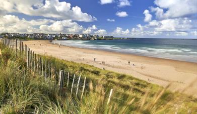
Castlerock is a 1km (0.7 mile) long stretch of beach between the sea cliffs of Downhill to the west and the Lower River Bann estuary known as the Barmouth to the east. The beach was awarded the Seaside Award in 2020.

Castlerock beach backs on to the tranquil resort of Castlerock. The dunes to the east of the entrance are home to Castlerock Golf Club.

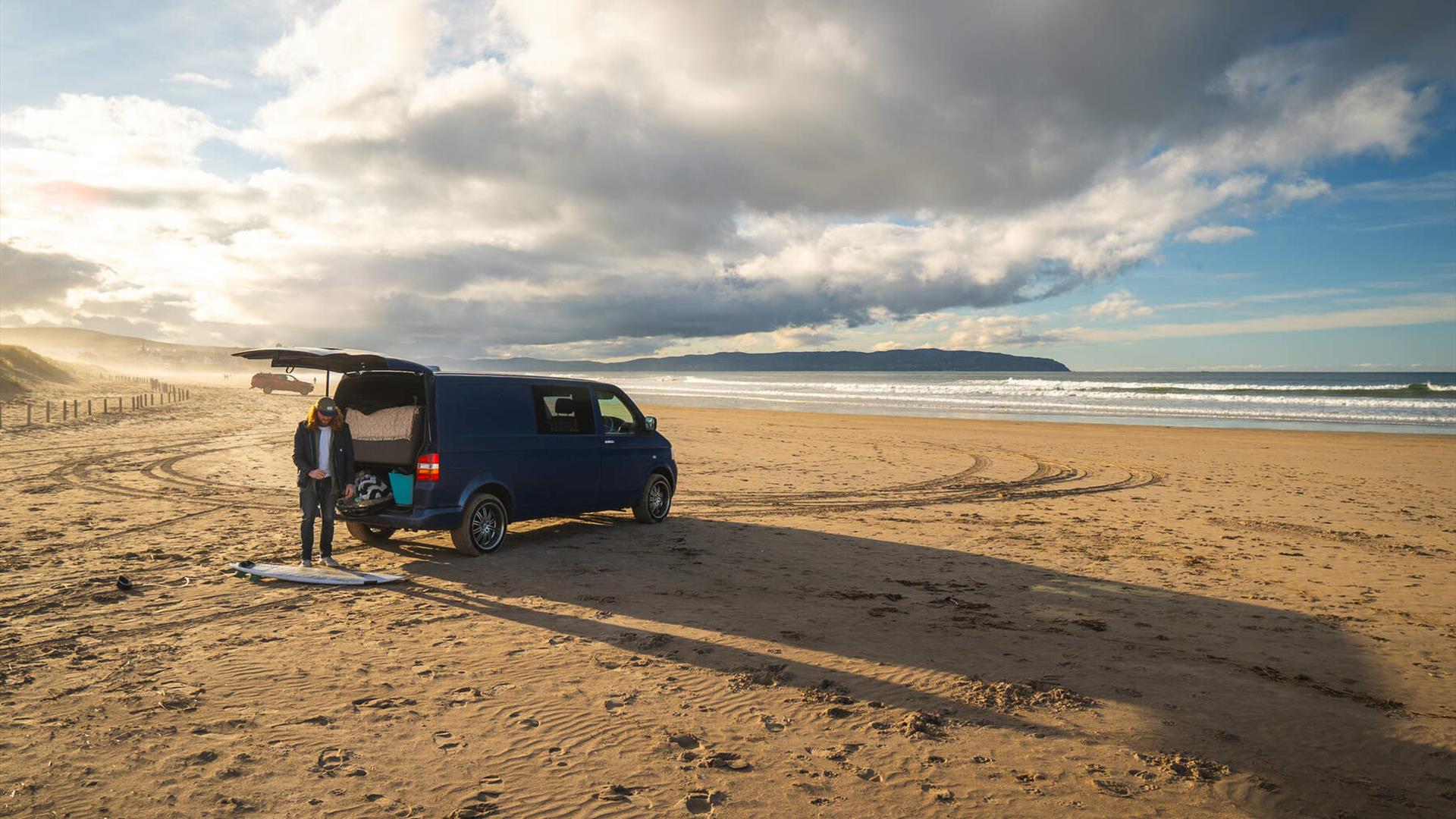
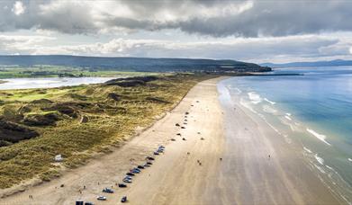
Visitors can access the beach via the dunes by means of 4 new boardwalks. Cars are permitted on the eastern portion of the beach all year round, although access may be difficult due to accumulation of soft wind-blown sand (please heed signage at entrance).
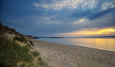
Walkers and anglers can walk along the concrete pier of the Barmouth but should exercise extreme caution at all times (inadvisable in high winds and breaking sea).

Facilities include:
• free car parking on promenade
• boardwalks access to beach
• dogs allowed (restrictions apply 1st June - 15th Sept)
• horse riding (restrictions apply 1st May – 30th Sept, permitted before 11am and after 7pm)
• seasonal RNLI Beach Lifeguards Service (July & August 11am-7pm daily)
• disabled toilets and disabled parking

Did you know?
The dunes here extend back upstream of the Bann estuary to Grangemore and are some of the oldest dated dunes in Ireland. There is a National Trust bird sanctuary at Grangemore.
The beach and dunes are designated as a Special Area of Conservation (SAC) and an Area of Special Scientific Interest (ASSI).

Facilities

Attraction Facilities

  • Open Evenings
  • Open Mondays
  • Open Sundays

Catering

  • Picnic Area

Establishment Features

  • Accept coach parties
  • Toilets

Leisure Facilities

  • Wifi

Parking & Transport

  • On site parking

Provider Preferences

  • Dogs accepted by arrangement
  • Free (parking charges may apply)

Add Castlerock Beach to your Itinerary

Close window

Call direct on:

Tel+44 (0) 28 7034 7234

Map & Directions

Opening Times

* 24/7 all year round

What's Nearby

  1. Hezlett’s picturesque thatched cottage exterior hides a fascinating early timber frame…

    0.99 miles away
  2. Mussenden Temple is located in the beautiful surroundings of Downhill Demesne near…

    0.99 miles away
  3. Downhill is a golden sandy beach stretching from Downhill Cliffs in the east towards…

    1.41 miles away
  1. Between Portstewart and the mouth of the River Bann lies the golden sands and domineering…

    2.28 miles away
  2. Benone Strand, multiple recipient of the European Blue Flag and Seaside Award, is a…

    3.52 miles away
  3. Gortmore's superb Viewpoint situated on the Bishop's Road on the Binevenagh Loop, as part…

    3.83 miles away
  4. Coleraine Town Hall presides over the central shopping piazza in Coleraine. Designed by…

    5.21 miles away
  5. West Strand Beach, also known as West Bay or Millstrand is a popular resort beach in the…

    5.61 miles away
  6. Visitors to the area can explore this unique studio & gallery space featuring the work of…

    5.83 miles away
  7. Coastal Zone is home to coastal and marine exhibitions. Indoor rock pool with live sea…

    5.91 miles away
  8. The Arcardia includes children's feature paddling pools, play frame and sand area.…

    5.95 miles away
  9. East Strand Beach in Portrush is a famously golden sandy beach, with views of The…

    6 miles away
  10. Mountsandel Wood is the earliest known settlement of man in Ireland dating to between…

    6.03 miles away
  11. Binevenagh is a tranquil area where the sights of Lough Foyle and Donegal can be seen on…

    6.36 miles away
  12. An inscribed stone cross at Duncrun marks the site of St Patrick's Monastery and the…

    6.68 miles away
  13. A well preserved Martello Tower at Magilligan Point, an important historical site in…

    7.18 miles away
Previous Next

Map & Directions

Back to Top

Tourism Northern Ireland

Don't Miss