Book Tickets Online
About
A moderate walk running from Portballintrae to the Giant's Causeway, taking in beach, cliff and rock formations.Start Point:
C929423
Finish Point:
C929423
Route:
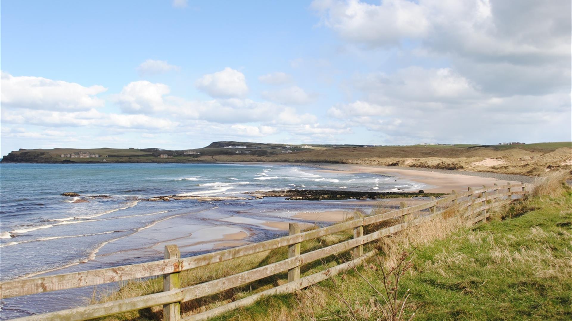
This route starts in the council maintained car park at the end of Beach Road in Portballintrae. Follow the path that leads from the car park down towards the beach. Bear left across Three Quarter Mile Bridge that crosses the Bush River. Bear left through the sand dunes to emerge onto Runkerry Beach, and follow the beach along its length. At the top of the beach, bear left onto a path that runs along the front of Runkerry house to follow the cliff top path northwards. Follow this path along the coast until reaching the Causeway Hotel and the newly refurbished National Trust Giants Causeway Visitors Centre. The visitors centre is a ‘green’ building in that it is built into the ground and the roof is covered with grass that can be walked over. Cross this building and take the steps down to the tarmac path that leads downhill to the Giants Causeway rock formations. A shuttle bus for those with limited mobility operates on this path. Continue past the rock formations along the path into the next bay. Bear right at a path junction in this bay before reaching the rock formation known as ‘The Organ’. You are now on the Shepherds Path. Follow this path uphill (following the red route) and climb the steps that lead to the cliff top path. Bear right at the top of the steps and continue back to the visitors centre. Leave the visitors centre through the car park, emerging onto the road. Bear right onto the Runkerry Road before the junction with the main Causeway Road. Turn right after 250m into the railway carpark, and join the path that leads away from the station along the railway. After the path begins to drift away from the beach, bear right onto a sand dune path before meeting the Bush River again. The paths through the sand dunes all lead back to the Three Quarter Mile Bridge, which you cross to get back to the car park at start of the walk.
Distance:
5.5 miles
Terrain:
Beach, formal and cliff top path
Point of interest:
Portballintrae Bay and Harbour, Runkerry Point, the Giants Causeway
Facilities:
Car park available at Portballintrae, as well as a shop and seasonal cafe.
Nearest town:
Portballintrae
OS map:
5
Facilities
Provider Preferences
- Free (parking charges may apply)


