Book Tickets Online
About
A quiet upland lake route in Strabane`s countrysideStart Point:
H445983
Finish Point:
H445983
Route:
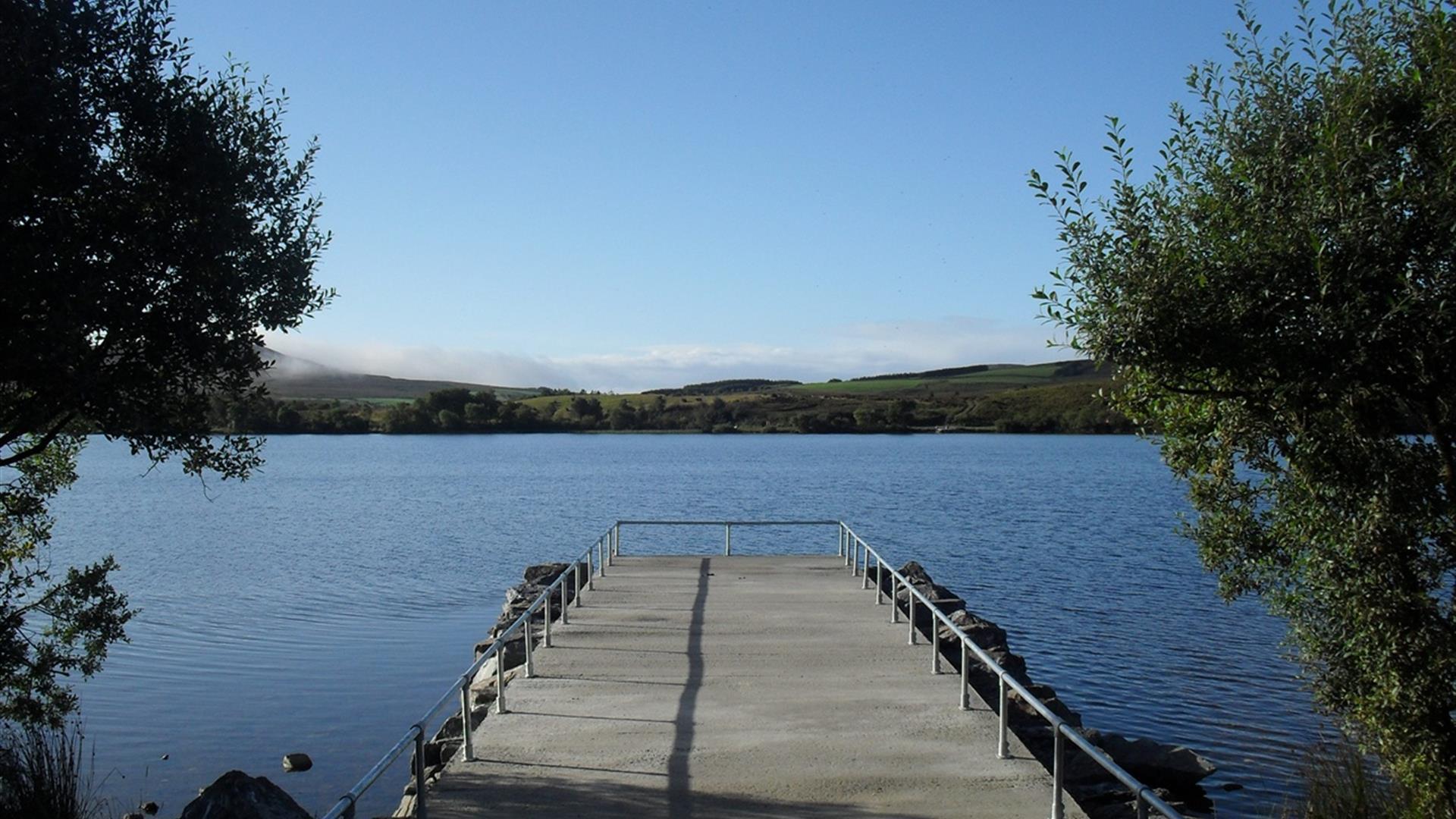
From the parking area beside the public toilets, follow the gravel path around the edge of the lough in either direction. Moor Lough and it`s shoreline have been developed as a Dept. of Culture, Arts and Leisure fishery. Moorlough has several beaches and a segregated paddling area available for use. A gravel track which circumnavigates the lough makes most of the shoreline accessible for all.
Distance:
1.2 miles
Terrain:
Gravel track, some potholes
Point of interest:
Moor Lough and surrounding glacial landscape.
Facilities:
Toilets between April and October, disabled fishing stands
Nearest town:
Strabane
OS map:
12
Accessible toilet facilities:
Yes
Accessible terrain:
Grade 3
Accessible signage:
None
Facilities
Provider Preferences
- Free (parking charges may apply)


