Book Tickets Online
About
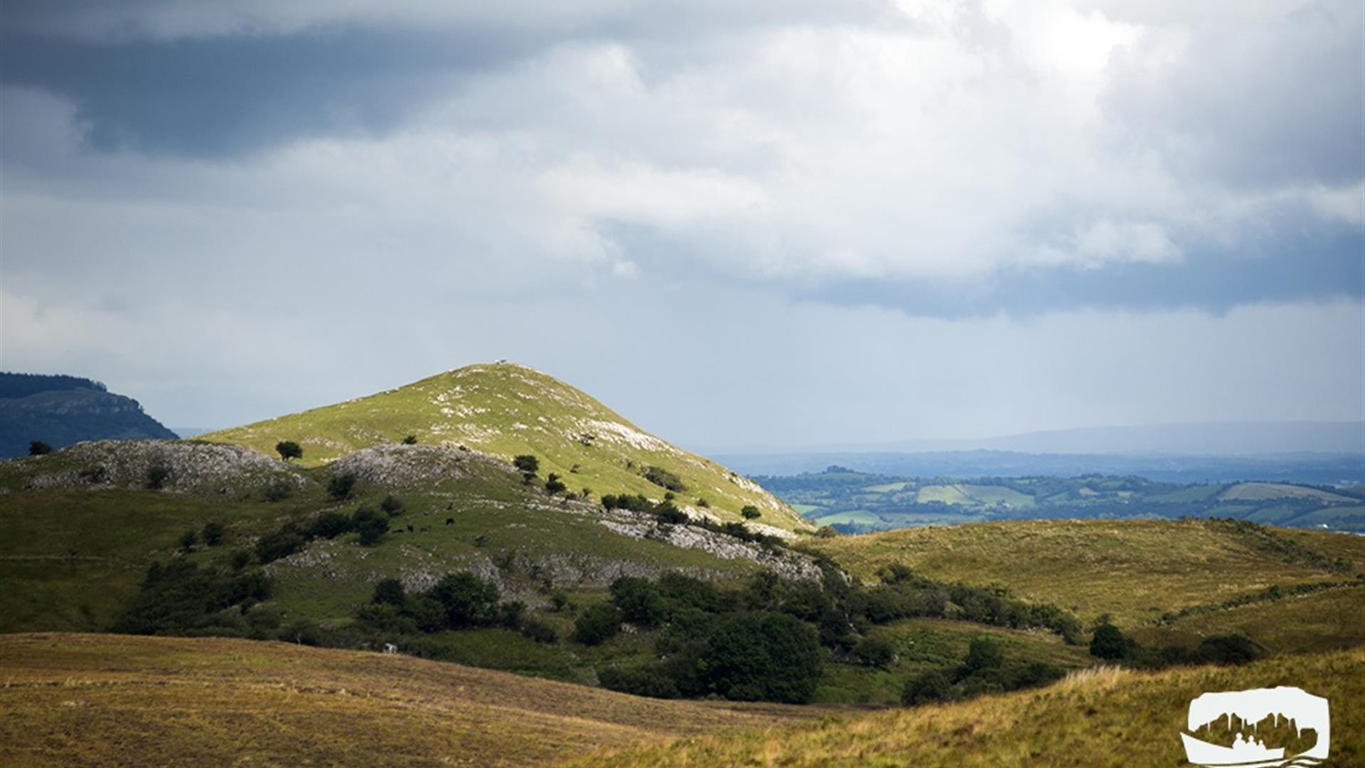
Gortmaconnell Viewpoint Walk is part of the Marble Arch Caves Global Geopark. The summit of Gortmaconnell Rock can be reached by a short but rewarding climb contouring around the hill. The viewpoint offers wonderful 360 degree panoramic views of Cuilcagh Mountain, MacNean Valley and the Erne Lowlands. From here you can also see the Owenbrean River, which flows down from Cuilcagh Mountain before sinking underground, eventually reaching the Marble Arch Caves system.Start Point:
H129 339
Finish Point:
H129 339
Route:
This route is waymarked, black route. Park at the entrance way to the Gortmaconnell viewpoint. Cross the stile and follow the rough farm track for 220m to reach a fork in the track. Take the left hand track and continue to follow. The track will end after another 200m where the route then continues up the open hillside to Gortmaconnell Viewpoint. Retrace your steps back to the start. Gortmaconnell Rock lies on the northern flanks of Cuilcagh Mountain. The path meanders through a working farm where sheep graze the land and you may be lucky to glimpse sight of the horses and feral goats that forage in the area. Gortmaconnell Rock sits in the centre of the Marlbank karst region, an area of limestone with characteristic weathering both above and below ground. It is from here that the limestone extends like a rock shoulder across a three kilometre wide strip to the foot of the steep, wooded escarpment in the MacNean Valley. Limestone pavement is the hall-mark of the area, sometimes exposed, occasionally barely concealed by a thin layer of soil and often buried by glacial debris known as till or boulder clay. Knoll-shaped hills rise out of the green meadows, rushy hollows and hazel copses with their craggy white slopes stark in the sunlight. These hills, which started life as limey mud banks on the floor of an ancient tropical sea, now give the countryside its picturesque appearance and support luscious plants which attract a varied range of birds, insects and mammals to the area. If you are lucky, you may glimpse the elusive Irish hare. Larger than rabbits, adult hares have black tips on their ears and their longer back legs give them a distinctive walk or lope. This rare mammal is native to Ireland and is arguably our oldest surviving mammal.
Distance:
1.2 miles
Terrain:
Rough farm track, open hillside
Point of interest:
Gortmaconnell Rock, stunning views of Cuilcagh Mountain and the Marlbank area
Facilities:
Car park - Please keep one gate free of cars as this is a working farm.
Publication:
n/a
Publication availability:
n/a
Nearest town:
Blacklion
OS map:
17
Accessible signage:
Interpretation sign at cark park, two interpretation signs at the top of the walk.


