Official travel trade website for Northern Ireland
En

Far and Wild

St Columb's Park House, 4 Limvady Road, Derry~Londonderry, County Londonderry, BT47 6JY
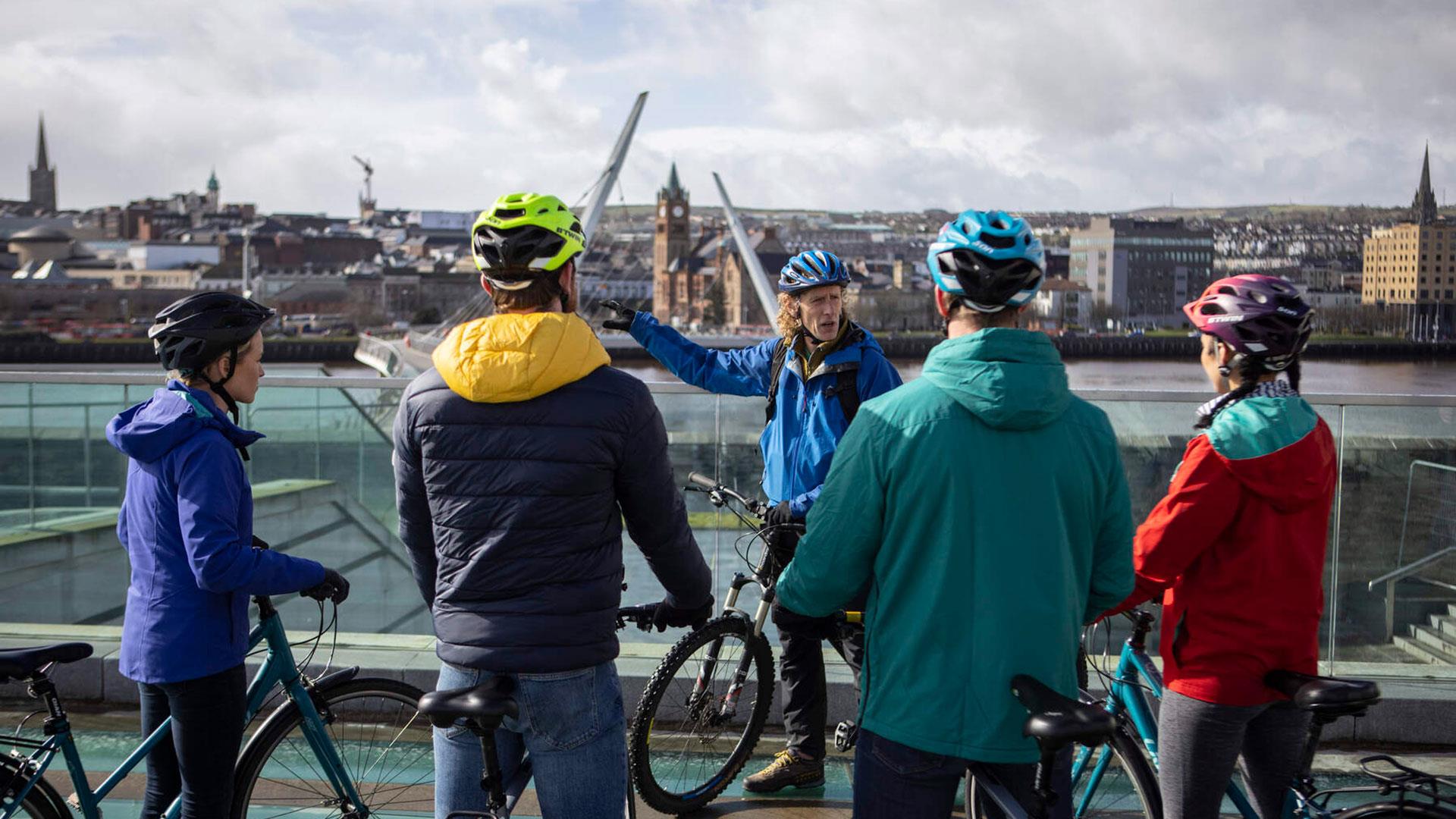
Group overlooking the Peace Bridge in Derry city on the Foodie Cycle Tour

Book Tickets Online

About

Far and Wild is the leading eco-adventure company in the North West of Ireland. We aim to help you reconnect with and enjoy time in nature to improve health, well-being and understanding of our local landscape. 

We bring new tours out each year- from BMX Scooters, Dragon SUPs, Foodie Cycle tours, which have recently joined our ever popular Moonlight Kayaking, Coasteering, and Stand Up Paddle Board tours. 

Our staff are fully qualified, highly trained and provide professional support required to ensure you have the best possible time outdoors in spectacular locations. 

Coverage: North West Ireland in counties Derry, Donegal, Fermanagh, Tyrone and further afield on request

Facilities

Establishment Features

  • Showers
  • Toilets

Add Far and Wild to your Itinerary

Close window

Call direct on:

Tel+44 077 7591 1198

Map & Directions

What's Nearby

  1. Located on the banks of the River Foyle along the south side of Ebrington Square, Mute…

    0.35 miles away
  2. Ebrington, a former military barracks just across the Peace Bridge, with a rich history,…

    0.35 miles away
  3. The Peace Bridge has become an integral part of the city’s infrastructure and is held in…

    0.39 miles away
  1. Fashioned in neo-gothic style, the Guildhall is one of the most striking buildings in the…

    0.49 miles away
  2. The Tower Museum houses two permanent exhibitions: The Story of Derry and An Armada…

    0.53 miles away
  3. Void is a contemporary art gallery that commissions and produces a visual arts programme…

    0.54 miles away
  4. Derry~Londonderry is the only remaining completely walled city in Ireland and is one of…

    0.66 miles away
  5. Explore the Blue Coat School Heritage Centre and discover the compelling, and often…

    0.69 miles away
  6. The museum is a public space where the concept of Free Derry can be explored in both…

    0.7 miles away
  7. The new Siege Museum and Exhibition is a permanent display of the history of the Siege of…

    0.72 miles away
  8. A neo-Gothic church of 1872. built of whinstone with sandstone dressings. Iit is…

    0.75 miles away
  9. Dominating the skyline on all approaches to the city of Derry~Londonderry is Saint…

    0.78 miles away
  10. The Verbal Arts Centre is an educational charity founded in 1992 and now located in the…

    0.82 miles away
  11. The Archive and Genealogy Service of Derry City Council has responsibility for the…

    0.94 miles away
  12. In the grounds of the Long Tower Church, the Áras Cholmcille or St. Columba Heritage…

    0.95 miles away
  13. In the steep, wooded Glen of the Burntollet River, south-east of Derry/Londonderry, lies…

    6.34 miles away
Previous Next

Map & Directions

Road Directions

Directions from Town: From Belfast: Take M2 motorway North/West out of Belfast. Continue via Toome bypass, Dungiven, Drumahoe. The city outskirts are apparent when the large Altnagevlin hospital comes into view. From Dublin: N2 via Slane, Ardee, Monaghan, Aughnacloy. Cross border and continue via Omagh, Sion Mills, Strabane. City comes into view from Strabane road. Cross Craigavon Bridge to access city centre.

Public Transport Directions

Nearest bus stop: Derry City- Foyle Street Nearest train station: Derry City- NIR station

Back to Top

Tourism Northern Ireland

Don't Miss