Official travel trade website for Northern Ireland
En

Drum Manor Forest Park, Old Woodlands Trail (Black 1)

Co Tyrone
Drum Manor Forest Park, Old Woodlands Trail (Black 1)

Book Tickets Online

About

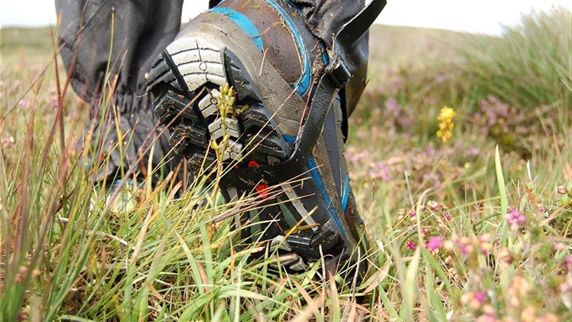
This trail takes in the butterfly gardens with a walk through the heart of the Forest plots enabling the walker to view a wide variety of different tree species then skirting the edge of the pond before rising through the open parkland back to the car park. Sturdy footwear recommended.

Start Point:
H763778

Finish Point:
H763778

Route:
Leading off the Red Trail, this trail passes through the old estate woodland that guards the southern boundary of the demesne and shelters most of the demesne from the south westerly winds. Follow the trail to see a young native plantation being managed to produce timber. This trail eventually takes you onto the Old Kildress path, which passes through the Beech avenue. This beech avenue is particularly striking during the Autumn when some of the leaves have fallen. This trail rejoins the red trail at the Butterfly garden. These walks are situated in a working forest environment and may be subject to diversion and closure from time to time. Up to date information is available on the Forest Service web site - link below.

Distance:
2.1 miles

Terrain:
Off road forest paths

Point of interest:
Tree avenues. Old Kildress Path (which was depicted on a map drawn in the 1830s).

Facilities:
Car park (fee charged), Toilets (disabled access), Picnic areas, Camping and Caravaning, Way-marked/nature trails, Guided tours available

Publication:
Leaflet available below

Publication availability:
http://www.forestserviceni.gov.uk/index/forests-in-northern-ireland/forests-in-the-west-district/drum-manor-forest-park-homepage.htm

Nearest town:
Cookstown

OS map:
Sheet 13

Accessible toilet facilities:
Yes

Accessible terrain:
The conditions likely to be encountered are described below. Steps, gullies, fences, streams, boulders Severe gradients Undefined edges Overhanging branches All types of terrain Some Rest Areas at irregular intervals Way-finding Markers at trail junctions Distance “To go” Markers at trail junctions.

Facilities

Provider Preferences

  • Free (parking charges may apply)

Map & Directions

What's Nearby

  1. The attractive eighteenth-century demesne is now a forest park. Colourful in spring and…

    0.03 miles away
  2. Lissan House is an enchanting country residence set within a 260 acre demesne of ancient…

    3.46 miles away
  3. Tullaghoge Fort was a royal power centre which came to historical prominence in the 11th…

    4.37 miles away
  1. Mysterious complex of 7 Bronze Age stone circles and alignments. It's where megalithic…

    6.34 miles away
  2. Step back to 1912 as you experience the Lenox-Conyngham home on the morning they left to…

    7.11 miles away
  3. Set in breath-taking surroundings you can recharge your batteries and enjoy one of the…

    8.75 miles away
  4. Ruins of mansion built by Sir Toby Caulfield in 1619. Gatehouse with murder-holes and…

    9.49 miles away
  5. This is the only example of an Ogham Stone inscription in County Tyrone, situated 7km…

    9.81 miles away
  6. Dungannon Park is a seventy acre oasis centred round an idyllic stream fed lake. The…

    10.81 miles away
  7. Located 3km from An Creggan, this is a burial chamber which has a front chamber and a…

    11.02 miles away
  8. A 10th Century Cross situated on a rocky height on the shores of Lough Neagh. It is a…

    12.56 miles away
  9. Explore the cottage of the Simpson family with close ties to Ulysses Simpson Grant, the…

    13.33 miles away
  10. We invite you to come and explore Peatlands Park. This beautiful area has a wonderful…

    13.74 miles away
  11. The Argory was built in the 1820s and its hilltop location offers wonderful views over…

    13.87 miles away
  12. The gin school at Woodlab Distillery is a unique experience in the science of harnessing…

    14.16 miles away
  13. One mile north of Maghera stands a prehistoric tomb at least 4,000 - 6,000 years old.…

    15.56 miles away
Previous Next

Map & Directions

Road Directions

Signposted from the A505 - Cookstown to Omagh Road.

Public Transport Directions

Translink - journeyplanner.translink.co.uk

Back to Top

Tourism Northern Ireland

Don't Miss