View Phone
Number
Book Tickets Online
About
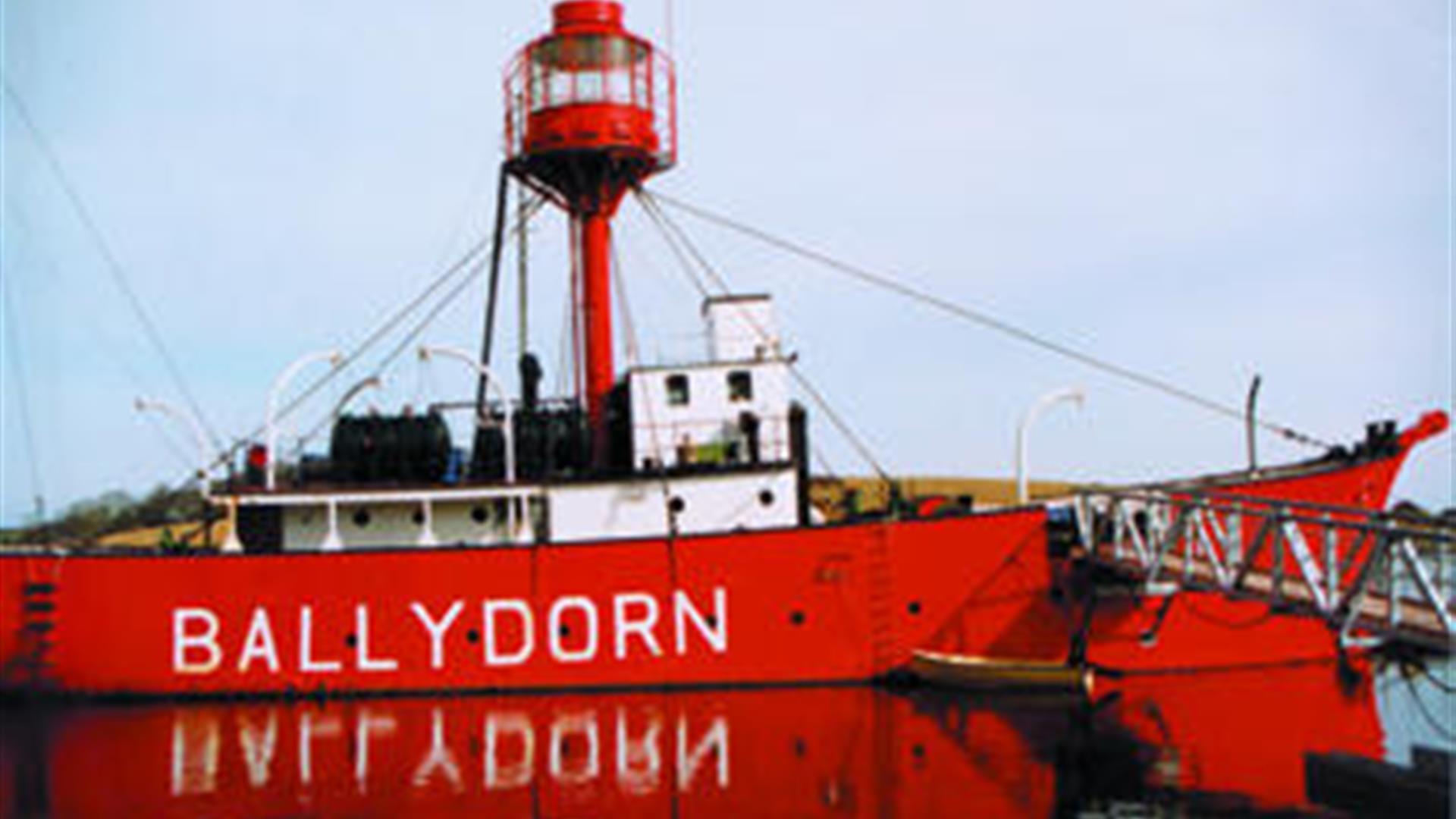
Ballydorn is located upon the northeast coast of Ireland, upon Strangford Lough’s western shore and to the west of Rainey Island. It is a beautiful and popular mooring ground with short stay pontoons attached to a permanently moored lightship that is a sailing club headquarters.The Sound offers complete protection from all conditions. However it is somewhat exposed to strong northerly winds where it may be a little uncomfortable.
Normal navigation is required when traversing any of Lough’s eighty square nautical miles of shallow basin. The Lough is a completely enclosed waterway but there are a number of drying patches and shoals known as pladdies, some of which uncover whilst others never appear, throughout the Lough. When these are near a principal boating channel or route they...Read More
About
Ballydorn is located upon the northeast coast of Ireland, upon Strangford Lough’s western shore and to the west of Rainey Island. It is a beautiful and popular mooring ground with short stay pontoons attached to a permanently moored lightship that is a sailing club headquarters.The Sound offers complete protection from all conditions. However it is somewhat exposed to strong northerly winds where it may be a little uncomfortable.
Normal navigation is required when traversing any of Lough’s eighty square nautical miles of shallow basin. The Lough is a completely enclosed waterway but there are a number of drying patches and shoals known as pladdies, some of which uncover whilst others never appear, throughout the Lough. When these are near a principal boating channel or route they are typically marked by poles or beacons. Currents are another complicating factor of the inner Lough. Although not as strong as in the ‘Narrows’ they do not run true in the Lough and tend to take a vessel off course. All of which necessitate some attention to navigation and detailed chart work in daylight.
The tides to the west and north of Rainey Island are exceptional, in fact not unlike ‘The Narrows’ further south. Currents reach speeds of 5 knots when forced through the locked channels between these drumlin islands and as such tidal planning should be central to any planned visit to Ballydorn. Read Less
Facilities
Establishment Features
- Showers
- Toilets
Parking & Transport
- On site parking


